Titlis Ticket from Engelberg
Validity: All day
17 Activities
Filter
Better than 4.5 stars
Better than 4 stars
Better than 3.5 stars
Better than 3 stars
No Rating

Validity: All day
Duration: 50 minutes
Why book with Swiss Activities?
Duration: 9:30 hours

Duration: 5:30 hours

Duration: 1:15 hours

Duration: 2 hours, 3 hours, 4 hours, 6 hours or 8 hours

Duration: 2 hours or 3 hours
Validity: All day

Validity: All day

Ticket
High demandbooked 2,181 times
Rent
Duration: 50 minutes
booked 283 times
Why book with Swiss Activities?

Tour
Duration: 9:30 hours
booked 40 times
Tour
Duration: 5:30 hours
booked 30 times

Course
Duration: 1:15 hours
booked 32 times

Course
Duration: 2 hours, 3 hours, 4 hours, 6 hours or 8 hours
booked 7 times

Course
Duration: 2 hours or 3 hours

Ticket
High demandbooked 11 times

Ticket
booked 30 times
The glacier at Titlis provides skiing pleasure until the end of May. The Titlis Rotair cable car, which rotates around itself, makes the Titlis even more famous
Above Engelberg, the Titlis is well accessible by cable cars in several stages. Guests travel to the glacier in less than half an hour. On the glacier skiing and snowboarding are possible in the period from October to the end of May.

Titlis features a permanent glacier. The Titlis cable car takes visitors up to 3,020 meters above sea level, and the journey itself is an experience. The glacier is known as Galtiberg Glacier or Titlis Glacier.
For families, Trübsee is a popular destination not just in summer, as it offers a variety of recreational activities year-round.
The most famous attractions at Titlis:
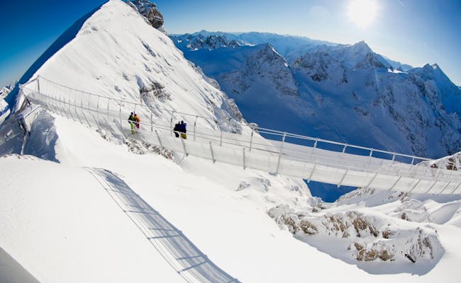
Since 2012, there's been a suspension bridge at Titlis. At that time, it was the highest suspension bridge in Europe. The Titlis Cliff Walk takes you across a swaying cable structure at an elevation of 3,041 meters above sea level, hovering over a 500-meter deep abyss. It spans about 100 meters, connecting the viewing platform with the mountain station of the glacier chairlift Ice-Flyer.
The suspension bridge weighs a total of 30 tons and is designed to bring guests closer to the mountains of Titlis. The opening of the new bridge coincided with the 100th anniversary of the Engelberg - Gerschnialp cable car. To get to the bridge, a path leads from the mountain station through an underground mountain tunnel to the viewing platform at the South Wall Window. This tunnel is 140 meters long. The bridge is a swaying cable construction that can withstand temperatures as low as minus 40 degrees Celsius and wind speeds up to 200 km/h. On the sides, the one-meter-wide suspension bridge is secured by a six-foot-high chain-link fence.

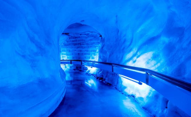
The glacier cave is accessible via a tunnel from the first level of the TITLIS mountain station.
Ten meters deep, the 150 m long tunnel runs beneath the glacier's surface. The ice in the cave is up to 5000 years old. The temperature here is consistently minus 1.5 degrees Celsius. The glacier cave is open daily all year round, and visiting is free.
It takes about 40 minutes to hike to Stotzig Egg. From the Titlis summit station, the secured glacier path leads to the Stotzig Egg viewpoint.
The glacier path is located at an altitude of 3020 m and is considered a moderately challenging hike. From the viewpoint, you can enjoy a panoramic view of the peaks of the Central Swiss Alps. In good weather conditions, you might catch glimpses of the Berner Oberland and the Valais mountains. You can even see the Black Forest on a clear day.
You can hike this route all year round, but its accessibility depends on snow and weather conditions.
Note: A part of the hiking path is located on the ski slope during the winter months from October to May.
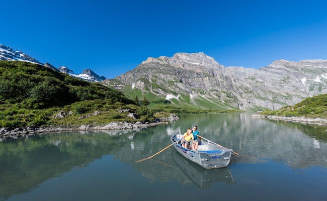
The Alp Ober Trübsee can be reached in 9 minutes via the eight-seater gondola from Engelberg. The Trübsee is a mountain lake at nearly 1800 m above sea level. It is situated in the middle of a plateau that offers a variety of recreational activities.
You can also swim in the lake, and there are four barbecue spots with firewood available around the lake. Benches invite you to take in the view of the lake and the surrounding mountains.
There’s snow on Titlis all year round. However, the activities in summer (May to October) differ significantly from those in winter.
Some of the most popular summer activities at Titlis include:
At Titlis, you'll find a wide variety of hiking trails. They range from easy and leisurely walks to demanding trekking tours. The longest hiking path stretches over 21 km, while the longest mountain hiking trail extends over 24 km. Glacier tours in the peak of summer are becoming increasingly difficult due to glacial retreat, so it's advisable to undertake them only with a mountain guide.
Winter activities at Titlis are incredibly diverse, and the addition of ski lifts and drag lifts makes accessing the mountain easier. Most winter attractions at Titlis are open from December to April.
Some of the most popular winter activities at Titlis include:
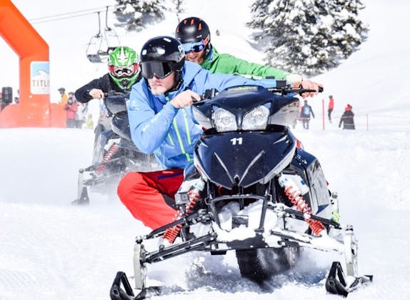
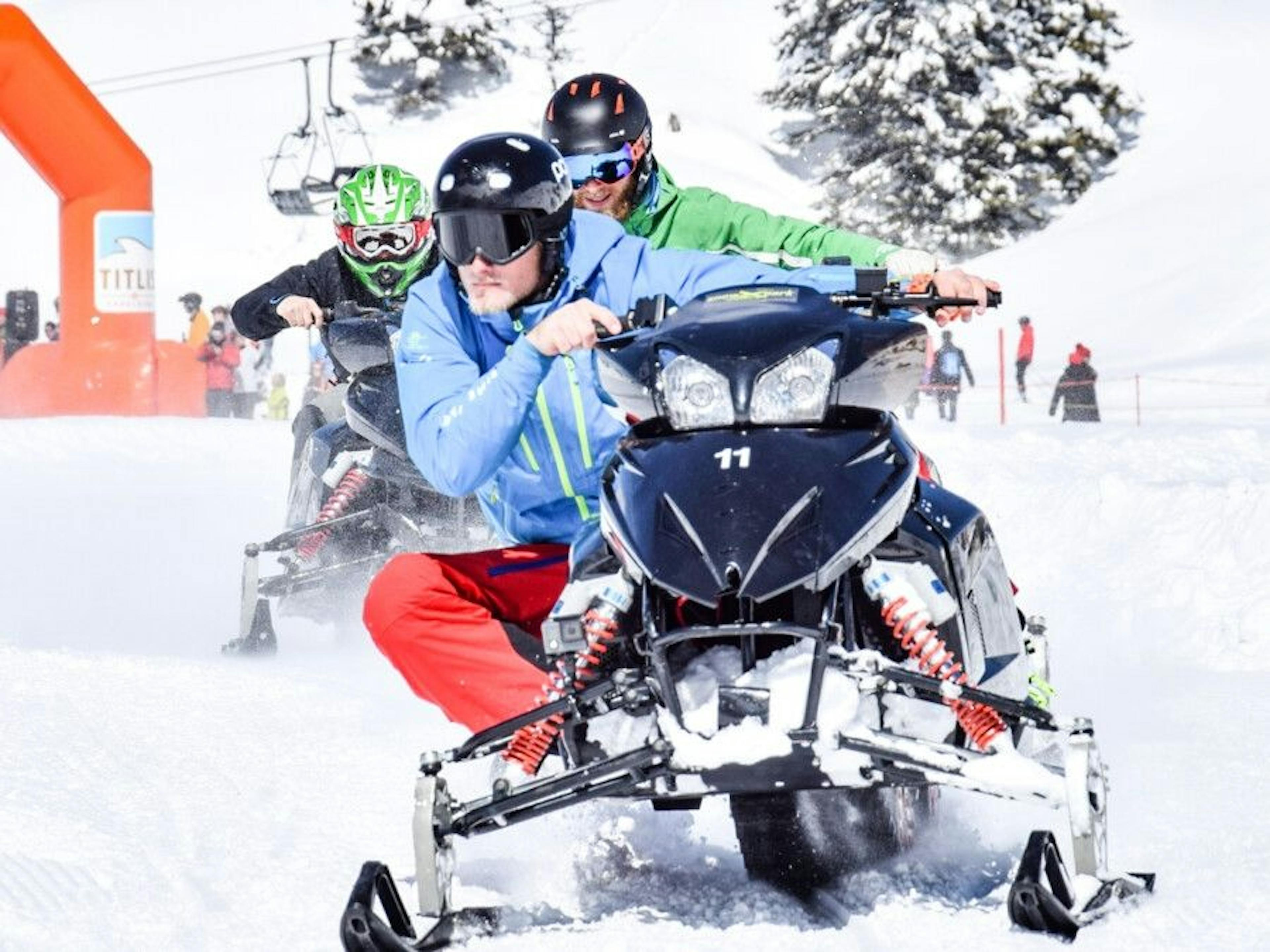
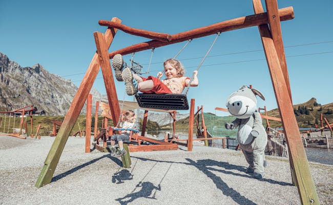
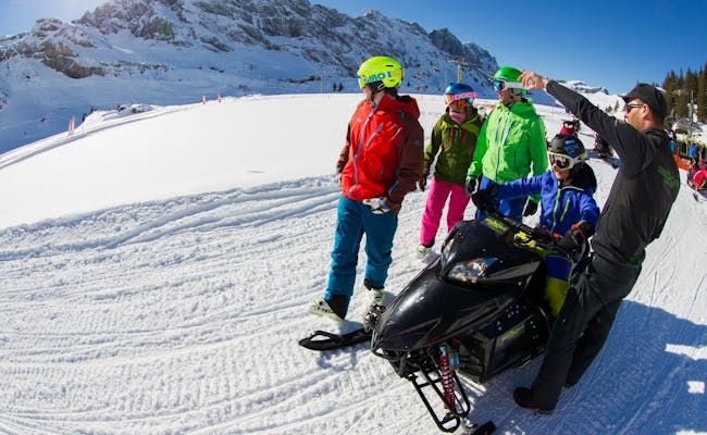
For kids, there are plenty of adventurous activities at Trübsee. Smugglers and packers keep kids busy with tasks around the lake, while Trübsee Adventure offers activities like jumping on inflatable cushions with and without trampolines or in a bouncy castle. The Trübsee Flyer is a fee-based zip line that can be used from the age of eight, and it operates in winter as well. Additionally, a sliding park is set up for winter. The ski slopes around Trübsee are great for beginners. Especially popular is the SnowXPark, where you can zoom through the snow on a snowmobile.
On and around the Titlis there are 4 official hiking trails and 20 official mountain trails, varying in duration from one to just under nine hours.
From the train station the trail leads along the spa park to the monastery. From there along the cemetery, over the Klostermatte to St. Anna and after the bridge along the Schweizerhausstrasse to the waterfall. After the waterfall the path goes to the valley station of the Fürenalp cable car. A free sports bus takes hikers back to the village. Otherwise, it goes on the Professorenweg back to the train station. This tour is also good to walk in winter.
This glacier tour is done with crampons and ice axe; inexperienced climbers are secured by the rope of the mountain guide. The hike begins in Trübsee with a well-maintained trail in a southeasterly direction to the Stand viewpoint and over easy rock steps to the Unter Rotegg lift station.
Here, to the south, is the entrance to the Titlis glacier (can be icy in late summer). The snowcats level a solid track on the glacier in summer. Along the lift and above the toboggan area the path leads to the Ice-Flyer station and from Stotzig Egg as a leveled pedestrian route towards the top station. The transition point to the west ridge is open (largely free of snow) and can be walked on a zigzag trail without any problems. After a shallow hollow, wire ropes help you to master the last steep part to the Titlis summit. The way back is via the Westgrad trail to the mountain station.
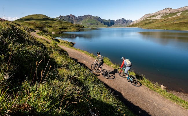
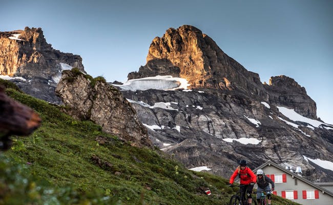
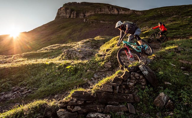
On the Titlis there is a wide range of tours with the mountain bike of varying difficulty. The mountain bike can be transported with the mountain railroads. The tours are rideable from June to October.
Some examples of tours:
This is a flow trail from the Jochpass to Trübsee and is suitable for both experienced bikers and beginners, as the stages can be ridden at different speeds.
1km, 210hm): The trail does not contain any rough steps and jumps, but several difficult passages, obstacles and steep wall curves. Perfect for downhill connoisseurs.
The trail is comfortably one meter wide, but has some challenges.
The Titlis XPress takes you by mountain bike to Trübsee. Here the tour starts and leads first uphill to the Jochpass. From there over the Engstlenalp and the Tannalp to Melchsee-Frutt. From here it's all downhill to Sarnen.
On a flow trail, a mountain bike can be ridden smoothly (flow) along the entire route. In downhill, an exclusively downhill route is ridden as fast as possible.
At the Titlis valley station next to Titlis Rent you will find a bike washing facility. At the Jochpass valley station there is a Schlauchomat with different tube sizes for bikes as well as a tool and compressed air station.
The Graustock via ferrata starts at the Bärghuis (mountain lodge) Jochpass at 2222 meters above sea level and leads to the 2662-meter-high summit of the Graustock with a view of the Titlis.
The via ferrata is considered a moderately difficult tour. You can reach the car-free Jochpass with the TITLIS gondola from Engelberg to Trübsee and further with the Jochpass chairlift. A signpost at the Jochpass shows you the way, which is marked white-blue-white in the further course.
On the via ferrata, which alternates between steep mountain paths and challenging climbing passages, 475 meters of altitude are conquered in about 4.5 hours. Over the 700 m high north face of the Graustock you can overlook the Engelberg valley. From the summit cross the view goes to the mountain Titlis and the places Spannort, Rigi and Pilatus, with clear view up to the Bernese Alps (Wetterhörner, Schreckhorn and Finsteraarhorn).
Very important for this tour is the observation of the weather. Above the karst areas, snow bridges can collapse when stepping on rock cracks and large snow cornices may hang over the ridge in early summer. Poor visibility could cause problems especially on the descent.
The via ferrata is open from the beginning of June to the end of October, over the winter the wire ropes are dismantled. The necessary via ferrata equipment can be rented. It is available at Bärghuis Jochpass or at Titlis Rent at the valley station.
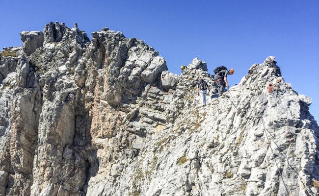 Klettersteig Graustock (Photo: Titlis Cable Cars)
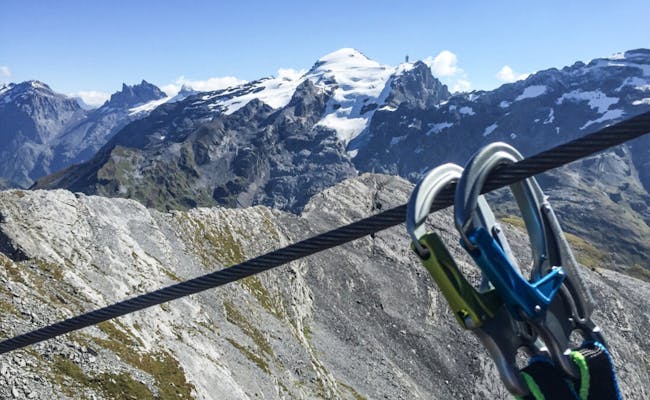 Via Ferrata Graustock (Photo: Titlis Bergbahnen)
From the Titlis Glacier down to Engelberg, there's about 12 km reserved for the longest run, covering an altitude difference of 2000 meters.
In the Engelberg-Titlis ski area, there are 82 kilometers of slopes available. From December to April, nearly all slopes are guaranteed to have snow. Skiing and snowboarding on the glacier is possible from October until the end of May.
Some of the slopes and runs include:
More than half of the total distance consists of medium-difficulty slopes. The breakdown of the 82 kilometers of slopes is as follows:
At Stand and Jochpass, the slopes go through high alpine terrain. At Gerschnialp, the slopes are gentler, and from Trübsee, you make your way to Engelberg over alpine meadows and through the woods. The Trübsee-Hopper four-seater lift connects the slopes over Trübsee.
Swiss Activities Offers:
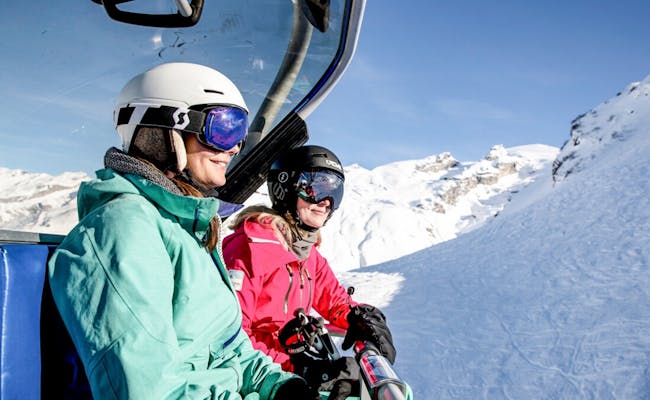 Ski area lift (Photo: Titlis Bergbahnen)
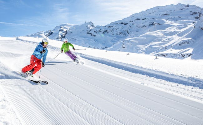 Skiing (Photo: Titlis Cable Cars)
Cross-country skiing on the Titlis is possible on several trails that start in the valley from Engelberg. On the mountain, the Gerschnialp trail is a popular cross-country skiing tour.
The Gerschnialp trail is 8 km long and is classified as an easy to medium tour. It leads through the wintry Gerschni forest. Short, intense climbs and flat passages alternate on the tour between Gerschnialp and Untertrübsee. The route moves at an altitude between 1262 and 1300 m above sea level and can be skied classically or as skating.
In skating, the leg kick is done using the skating stride. This technique allows faster movement compared to the classic style of cross-country skiing. The Gerschialp trail is open daily during the winter season from December to March.
Access to the trail is by funicular from the Titlis valley station to Gerschnialp. The cross-country trail starts not far from the Gerschnialp mountain station, a shuttle bus bridges the distance to the trail. At the end of the cross-country trail, the funicular from Untertrübsee leads back to the valley. The cross-country skiing takes about 2:15 hours and overcomes 107 meters in altitude.
35 further cross-country skiing trail kilometers are available in the valley from Engelberg.
Snowshoeing is possible around the Titlis in the valley and on the mountain. There are two snowshoe trails on the mountain.
The trail is accessible from December to March. It starts at the well-signposted starting point, which you reach after a short stretch on the road. The snowshoe trail runs parallel to the cross-country ski trail and is clearly marked as such. First the trail leads into the Gerschniwald, then at Schlegi along the Bitzistock through an open area to the mountain restaurant Untertrübsee. Here you are already halfway through the tour.
After a wide mat with a view of the surrounding mountains, the tour leads back along the edge of the forest to the Gerschnialp mountain station. Arrival and departure are via the funicular. The walking time is about one and a half to two hours at an altitude between 1262 and 1240 m above sea level. On the total distance of 4.2 km you will climb and descend 141 meters in altitude.
This trail starts from Berghotel Trübsee in the direction of Engelberg. The trail leads next to the slide park down to the lake until you reach the hut. Afterwards the trail goes up to the right in the direction of Chrützhubel. After a moraine ridge you reach a viewpoint.
The trail continues to the mountain station Älplerseil, where you can enjoy a deep view. Afterwards the trail leads back to the starting point. This snowshoe trail is 5.5 km long and takes 2 to 2.5 hours. Up and down you will overcome about 251 meters of altitude. Arrival and departure are via the TITLIS-Xpress train between Engelberg and Trübsee.
Various winter hikes are possible on the cleared slopes on the Titlis. On the Titlis and around Engelberg there are winter hiking trails of around 50 km.
The hike Gerschnialp-Untertrübsee starts at the hotel Bänklialp at about 1000 m above sea level. The trail leads via the Bänklialpweg up to the Gerschnialp through a snowy winter forest. The trail continues along the road to the station and then below the Bitzistock over the valley floor to Untertrübsee at about 1240 m above sea level. The total distance is 4.2 km and takes about 1.5 hours. Thereby you overcome 304 m ascent and 57 m descent. The tour is classified as moderately difficult. You can do it all year round.
The winter hike Rundweg Trübsee starts at the middle station of the TITLIS Xpress cable car. The easy hiking tour leads a few steps downhill to pink signposts. The winter hiking trail is clearly signposted and leads around the Trübsee. On the way you can stop at the Älpstübli or at the end of the trail at the Berghotel Trübsee. The 3.2 km and 32 meters of altitude difference can be covered in about one hour.
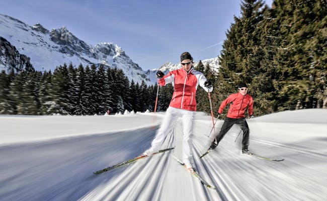 Cross-country skiing (Photo: Titlis Bergbahnen)
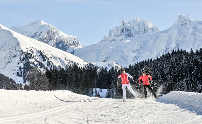 Cross-country skiing (Photo: Titlis Cable Cars)
The glacier park is open in summer and its use is free of charge. The sliding fun takes place with various sliding devices: Snake Gliss, Balancer or Zipfelbob are used by visitors on the Snowtoy track to go down the slope. The Magic-Carpet conveyor belt then takes them back to the starting point in a short time.
On the Snake Gliss, several toboggans are linked together and steered by an expert. Up to ten toboggans can be connected behind each other (up to 10 toboggans per snake).
A Snake Bobsled can be ridden without prior training even by young children from about three years old. Special grooves on the otherwise smooth underside and the low center of gravity ensure that the Zipfelbob rides true to track and does not tip over. The grab handle helps the rider steer.
In snowtubing, participants slide down the slope on a tire. There are all variants for this: sitting, lying, forward or backward. The tires also turn around their own axis without losing track. In winter, snowtubing and the other sliding devices are offered in the slide park at Trübsee.
Avalanche training is offered free of charge in winter at Trübsee. On Schlächtismatt (Trübsee) you can practice searching with the avalanche transceiver (LVS) under realistic conditions. The first 15 minutes after being buried by an avalanche are crucial to save the life of a buried victim. An avalanche transceiver is a useful aid in this process. In the training center you practice the use of the device.
The Avalanche Training Center contains ten avalanche transceivers distributed over an area of 100x100 meters. Each avalanche transceiver has a probe surface of 40 x 60 cm.
The search is carried out with an avalanche transceiver and a probe. If a probe encounters an active transmitter, the transceiver indicates the hit. At the same time, it is displayed on the control center of the Avalanche Training Center. In this control center, the transceivers are also switched on by radio in advance for the exercise.
The handling of this training unit is simple. To increase the level of difficulty, an expert mode is available.
Each transceiver can be set to transmit or search mode. Tourers or freeriders (off-piste skiers or snowboarders) each wear an avalanche transceiver set to transmit on their body. Those searching for a buried subject set their transceiver to search. The range is 20-60 m.
Avalanche beacon, avalanche probe and avalanche shovel are part of the standard equipment. Training in the correct use of these can save lives.
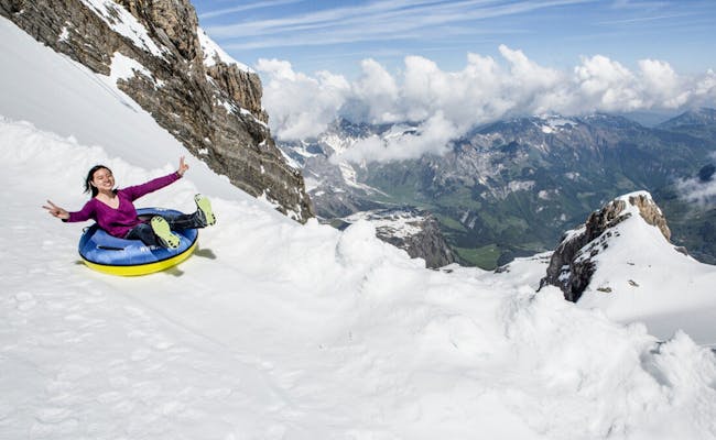 Glacier Park (Photo: Titlis Bergbahnen)
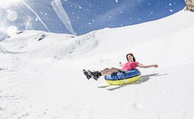 Glacier Park (Photo: Titlis Cable Cars)
A cogwheel train departs from Engelberg to Gerschnialp. From Gerschnialp and Trübsee, gondolas and aerial cable cars float up to the Stand station. From there, you continue with the aerial cable car „Rotair“. It spins 360 degrees during the ride, providing a panoramic view at 3020 m above sea level at Klein-Titlis. The Ice-Flyer chairlift goes directly to the glacier park.
Operating hours for the TITLIS lifts are from 8:50 AM to 5:00 PM, with the last ride down to Engelberg at 5:00 PM. The travel time from Engelberg to the Titlis mountain station is about half an hour.
There are a total of 25 transportation facilities at Titlis.
The 8-person gondolas TITLIS Xpress take 16 minutes to travel from Engelberg (1003 m above sea level) to Stand (2428 m above sea level). They move over a 4.7-kilometer stretch at speeds of up to 6 m/s. The midway station is Trübsee.
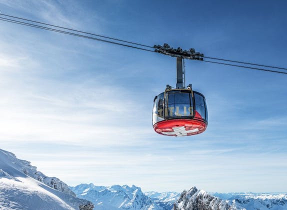
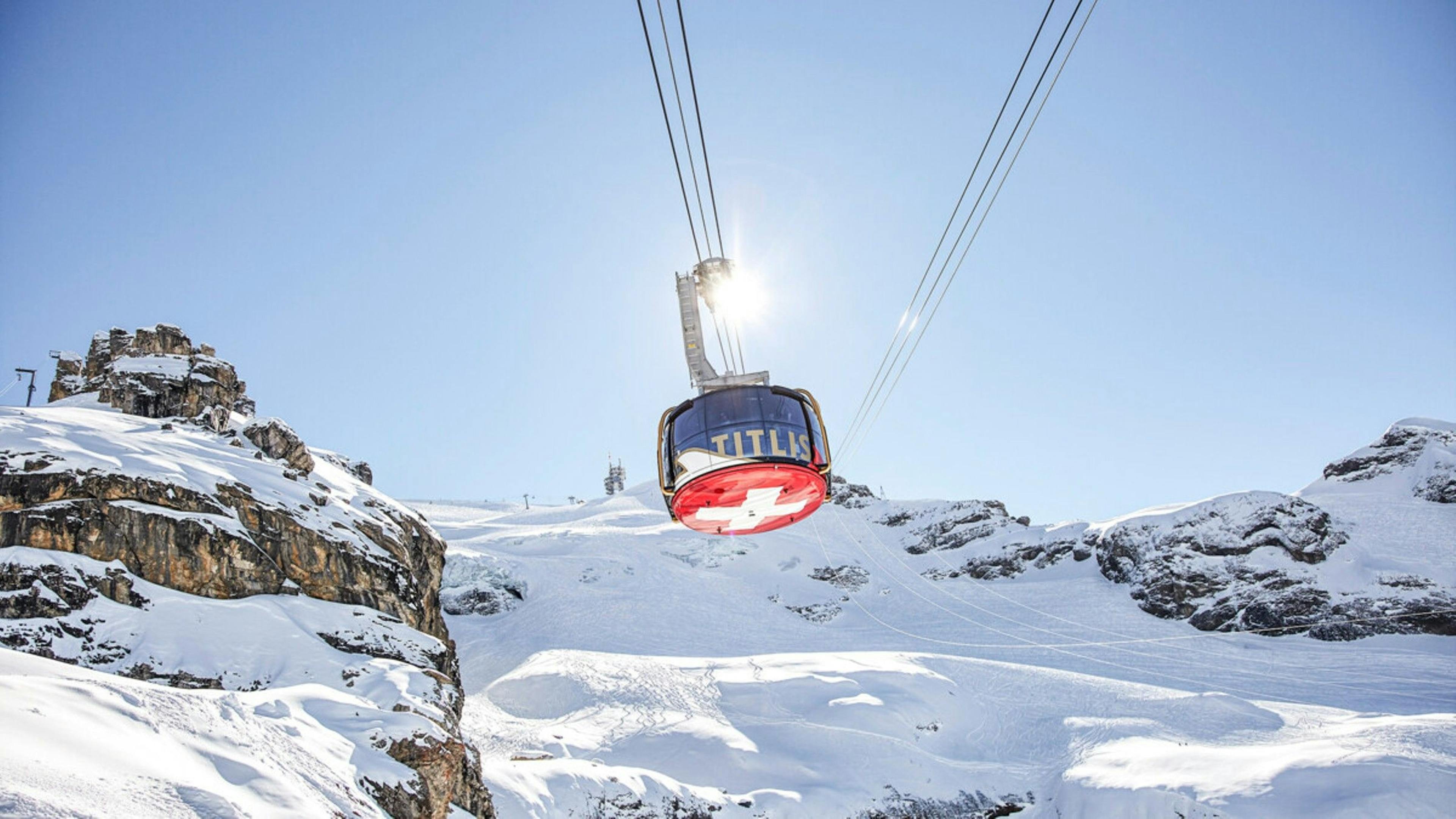
From Stand, the Rotair gondola takes you up to Klein Titlis at 3028 m above sea level. These gondolas have been in operation here since November 15, 2014. Each gondola rotates completely around itself. By omitting a central console, boarding and alighting have been made easier. The mirrored windows give the cabin the look of a glass sphere. Below, a large Swiss cross is visible. The Rotair gondola ride lasts about five minutes.
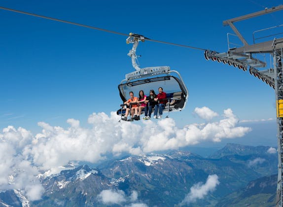
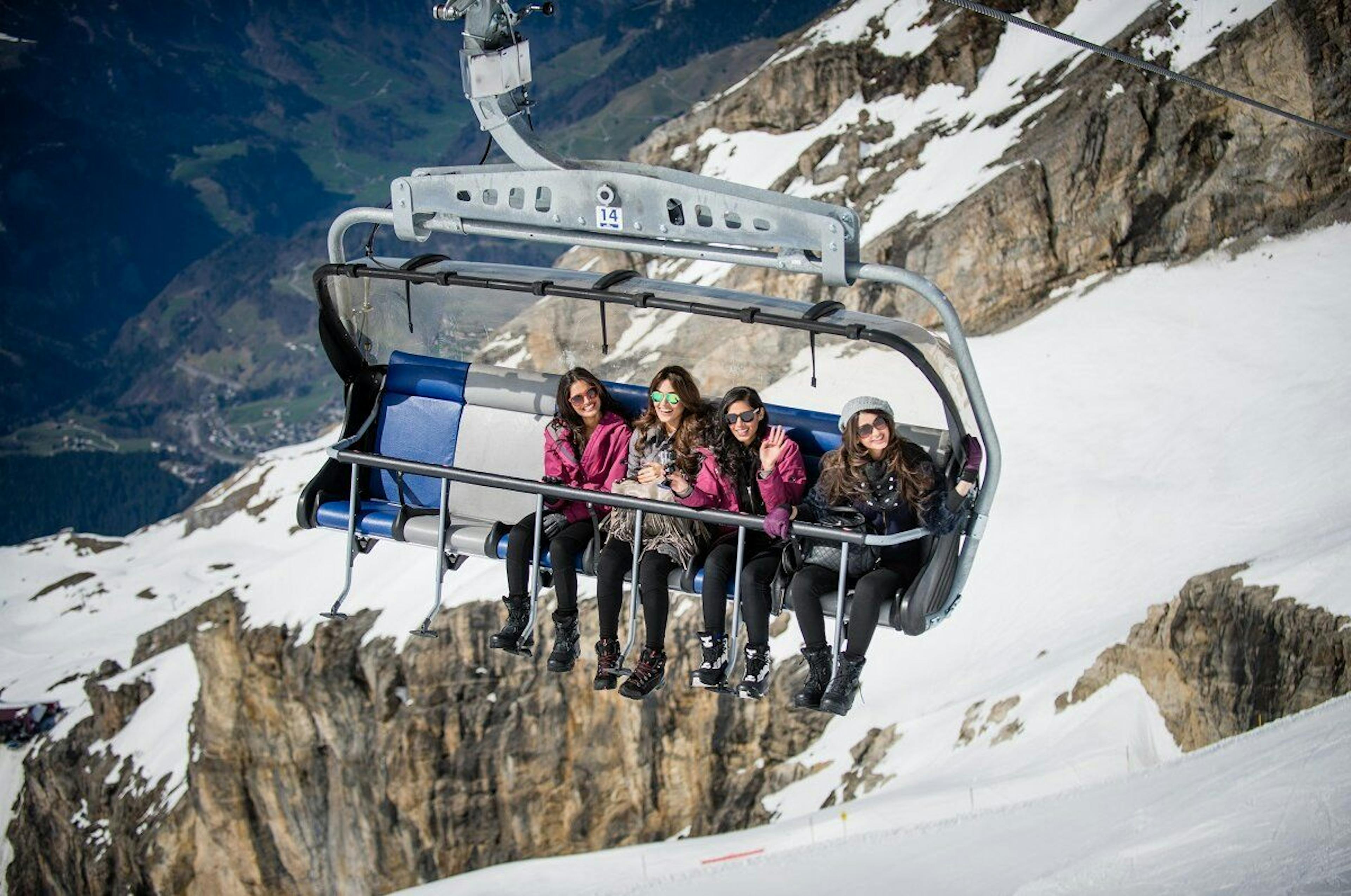
Ice Flyer is the name of the chairlift that can accommodate up to six people at a time. In summer, it takes guests to the glaciers and in winter to the ski slopes. The glaciers below the chairlift are up to twenty meters deep. Built in 1999, the chairlift covers 178 vertical meters over a distance of 680 m and takes about 2.5 minutes. It can transport up to 900 people per hour. With the Ice Flyer, you can go directly from the Titlis train station to the glacier park. In winter, the chairlift leads directly to the ski slopes at the summit.
The Glacier Ski Lift is a drag lift from 2004. It covers 235 vertical meters over a length of 775 m in 4:40 minutes. The drag lift reaches a speed of 3 m/s, allowing up to 1200 people to ride per hour.
Swiss Activities offers:
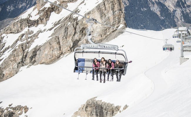 Iceflyer (Photo: Titlisbahnen)
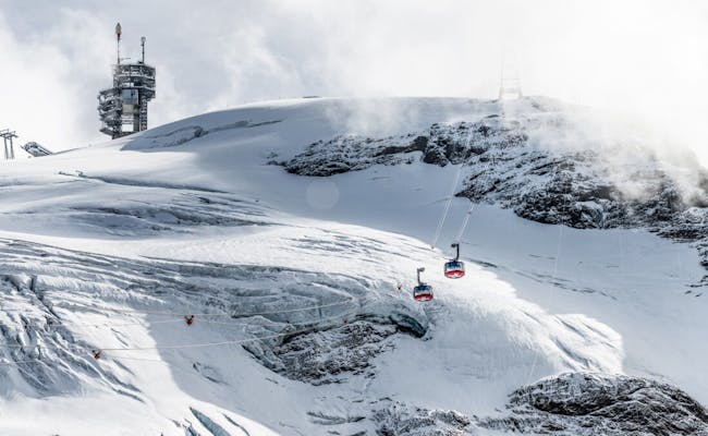 Rotair (Photo: Titlisbahnen)
The Rindertitlis - Laubersgrat chairlift has covers, rises 1183 meters and climbs 385 meters in altitude. The chairlift dates back to 1996.
The Quad high-speed chairlift Trübsee - Jochpass was built in 2005 and can be coupled. It runs with covers and overcomes the 438 meters of altitude difference on a distance of 1464 m at a speed of 5 m/s. The whole distance is covered in 5:20 min. The chairlift operates in the summer and winter season, but not between the seasonal periods.
The Engstlenalp - Jochpass lift is a six-seater chairlift, which was put into operation in 2019. It is detachable and equipped with covers and heated seats. It travels from the bottom station (1954 m above sea level) to the top station (2214 m above sea level) in 4:30 min at 5 m/s during the seasonal periods. On a distance of 1244 m it overcomes 260 meters of altitude.
Some events take place regularly on the Titlis. These include, for example, the CandleLight Dinner in the Panorama Restaurant. Other events such as the Mountain Trophy are held once a year.
SnowEpic is a sport that involves rolling over snow-covered mountains on highly upgraded mountain bikes. So far it has taken place around Engelberg and Titlis in the form of festivals, where the trails involved are closed to snowboarders and skiers. It is driven over a kind of cross-country route.
Those who enjoy hiking have the opportunity to climb 2200 meters in altitude together from Engelberg to Titlis Kulm in mid-August. The hike takes about six hours and includes lunch at the Panorama Restaurant on the Titlis as well as the cable car ride down to the valley.
On August 1, the Swiss National Day is celebrated on the Titlis with alpenglow and alphorn sounds. A joint mountain tour to the summit cross of the Gross Titlis is part of it.
Ski tests of well-known ski brands take place from time to time at the Stand station and in the store at the Trübsee station. They are free of charge.
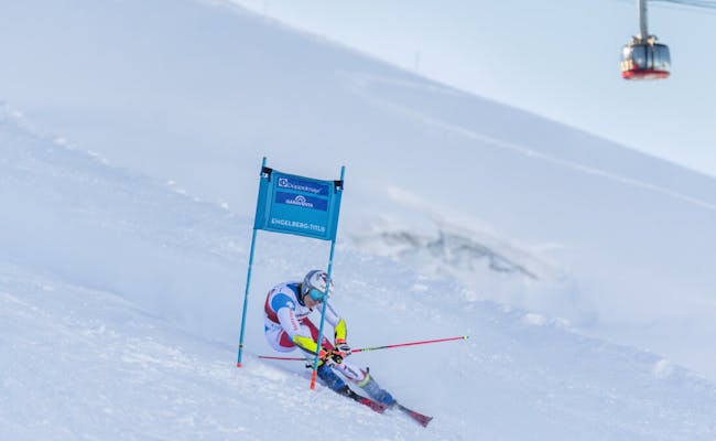 Event Garaventa (Photo: Marco Odermatt Titlisbahnen)
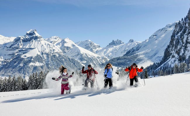 Group Events (Photo: Titlisbahnen)
On the Titlis there are a total of 17 restaurants, bars and snack bars, which are arranged on an overview page according to the mountains and railroad accesses.
The Panorama Restaurant Titlis is located at 3020 meters above sea level near the top station. Open daily until 4:30 pm, the restaurant is barrier-free and offers free Wi-Fi. Swiss cuisine is served. Once a month, a candlelight dinner with fondue chinoise is held here.
The Titlis Imbiss opens in suitable weather for snacks or bratwurst, hot coffee or beer on the terrace.
The Panorama Self Service has international cuisine on weekends (daily during the winter season) with dishes from the grill, plates of the day and freshly cooked soups.
The Mövenpick Ice Cream Bar offers 12 ice cream specialties daily, freshly baked waffles, hot drinks or Asian noodle soups.
The Skihütte Stand is a quaint restaurant with service, offering regional specialties and wines accompanied by country music. Inside, three tiled stoves warm you, and deck chairs can be used on the terrace. This restaurant is open daily from the beginning of December to the beginning of May.
The Bärghuis Jochpass stands at 2222 m above sea level, directly on the ski slope. In summer it opens daily from mid-June to mid-October.
The Gerschnialp Inn can accommodate up to 180 people and opens daily in summer as early as the end of April.
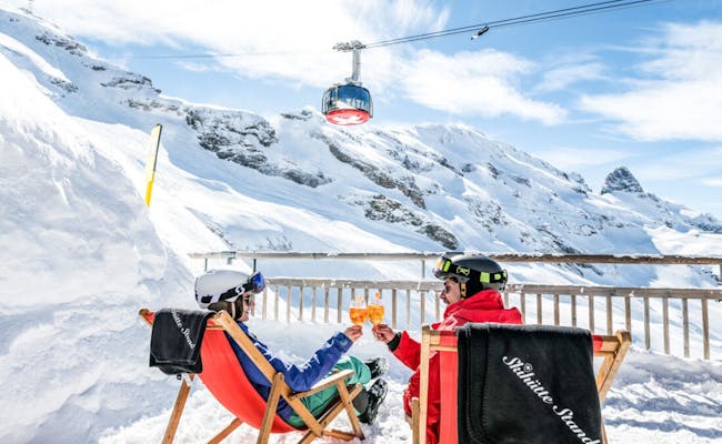 Skihütte Stand (Titlis Bergbahnen)
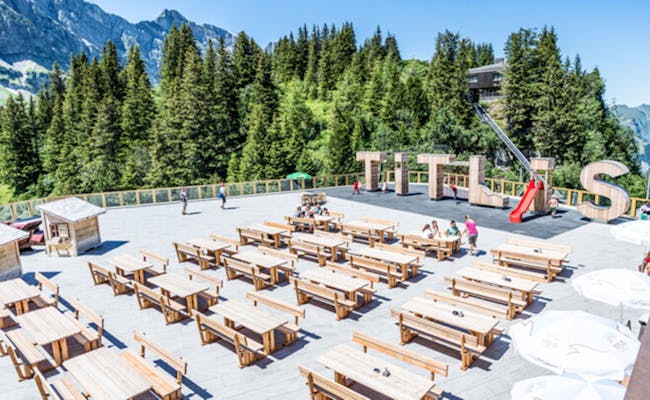 Trübsee (Titlis Bergbahnen)
The highest point of the Titlis is at 3238 m above sea level, the Titlis Cliff Walk is at 3104 m above sea level. This altitude is not without danger for ill or inexperienced high altitude hikers. Already above 1900 m above sea level, the first symptoms of mountain sickness begin in 20% of people.
It starts with headache and malaise and should not be underestimated. Later, loss of appetite and sleep disturbances can be added. To prevent it, the only thing that helps is to gain altitude as slowly as possible. If symptoms appear, you should rather stop strenuous activities and slowly make your way down.
The glacier is gradually melting due to global warming.
The average daily highs are 14 to 16 °C at about 1900 m above sea level on the Titlis from June to August, with daytime highs around 25 °C quite possible in August. Nights here have temperatures averaging 6-7 °C, with particularly cold nights reaching 0 °C even in August. In winter even -20 °C are reached.
Precipitation amounts rarely reach more than 50 mm per day here at Titlis, wind speeds only exceed 28 km/h in the winter months.
The 3,239-meter high Titlis mountain is part of the Uri Alps. You can reach it from Engelberg using the Titlis cable car.
There are three parking spaces available at the cable car valley station (Gerschnistrasse 12 in Engelberg). Parking fees are 5 CHF per day. In Engelberg, there are additional parking options.
If you're driving from Zurich via Lucerne, it takes about 1 hour and 10 minutes via the A4, A14, and A2. You exit the highway at Stans. From there, follow the cantonal road until you reach Engelberg.
To travel to Engelberg, it takes 43 minutes from Lucerne with the Zentralbahn. Coming from Zurich, it takes about an hour longer by train. You change trains in Lucerne and continue to Engelberg with the Zentralbahn.
You can also combine your journey with a boat trip on Lake Lucerne. The boat departs from Lucerne to Beckenried. From there, bus 311 runs to Stans. From Stans, both the train and a bus head to the station in Engelberg. The free shuttle bus Dorf-Express operates between Engelberg station and the Titlis valley station. The walk takes about 10 minutes.
Six additional bus lines offer free transport for passengers in Engelberg to the station and the valley stations of the mountain lifts.