

8 Highlights of the Gantrisch Nature Park
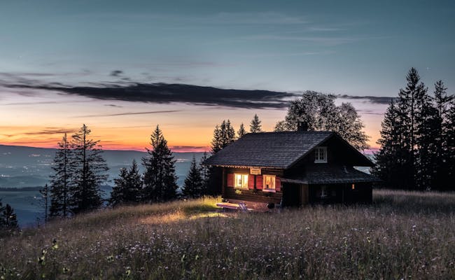
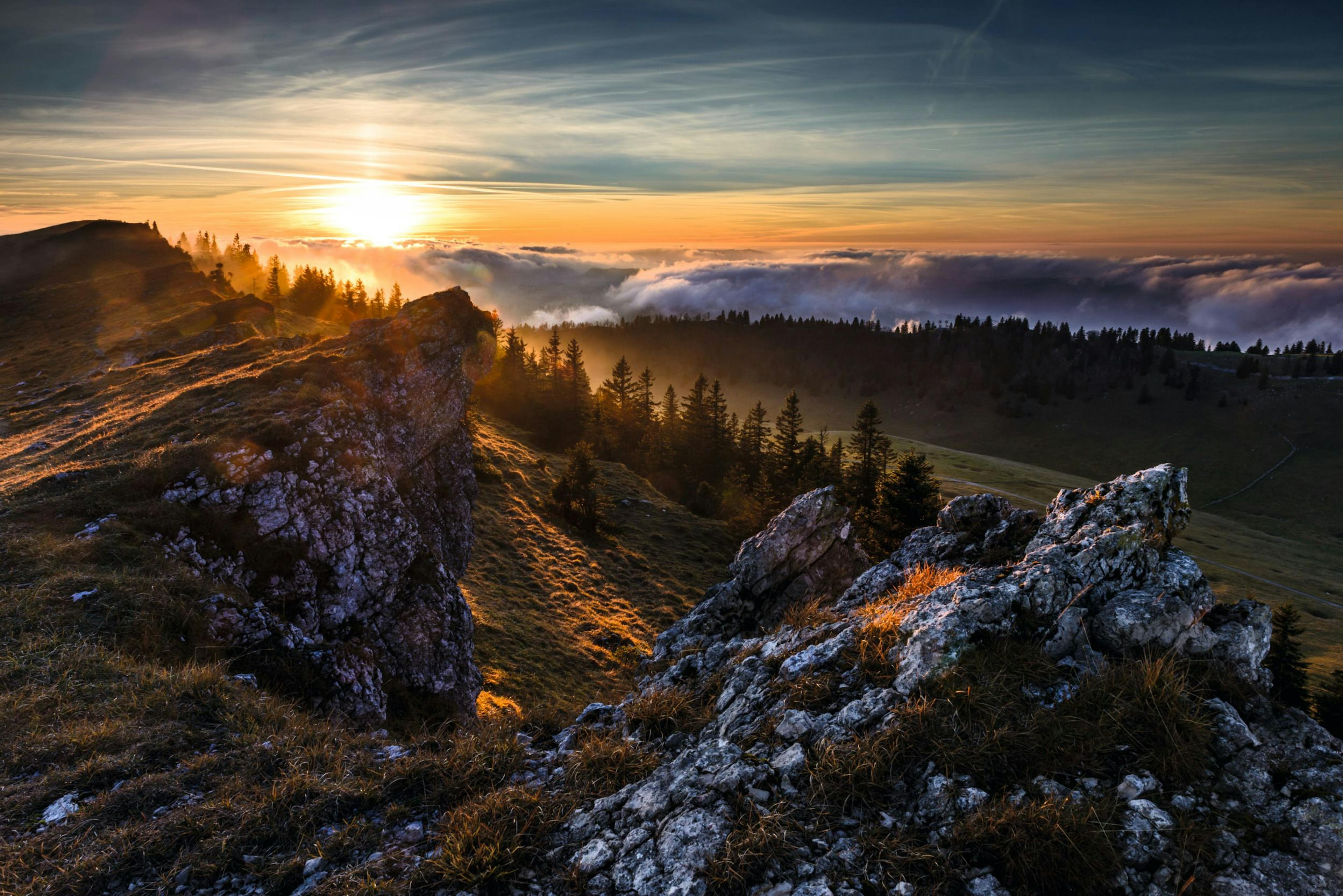
- The Gantrisch Nature Park is famous for clear starry nights.
- The river "Schwarzwasser" meanders through deep canyons and gorges.
- 460 hectares of fens and 30 hectares of raised bogs have been included as bogs of national importance worthy of protection. They are located in the municipal area of Rüschegg.
- The Guggershorn (1283 m above sea level) is a popular vantage point in the nature park.
- The, according to Rudolf von Tavel, "most beautiful place in the Bernese country" can be found near Rüeggisberg at Leuenberg.
- In the Gurnigel area several baths bear witness to the old bathing culture.
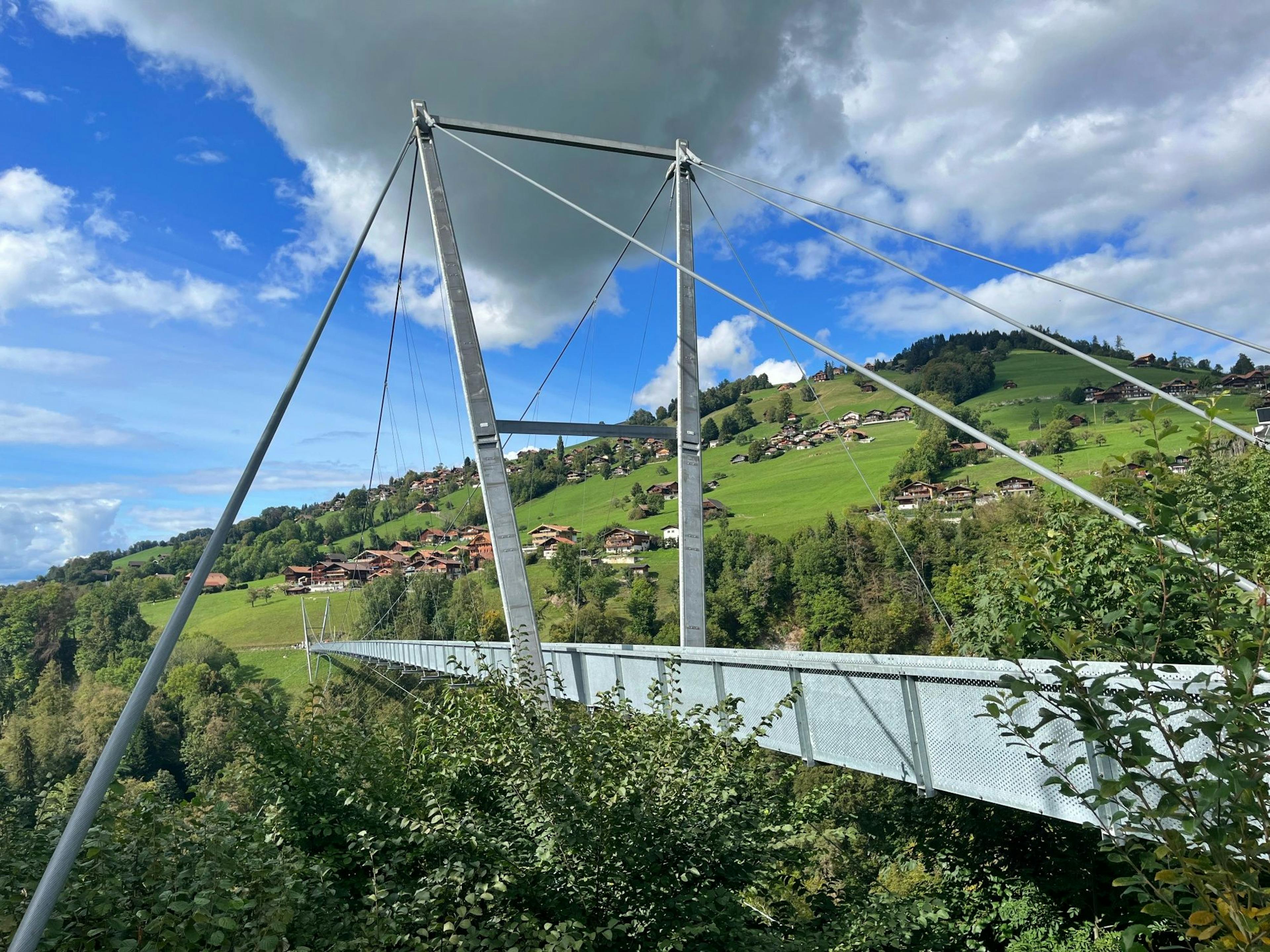
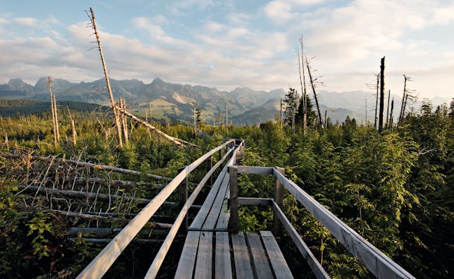
- The Gäggersteg is a wooden footbridge across the forest reserve in the nature park.
- 400 km of bike routes, 350 km of MTB routes and 300 km of gravel bike routes await you in the park.
You can find an overview of all the natural parks in Switzerland in our article about the 20 most beautiful Swiss natural parks.
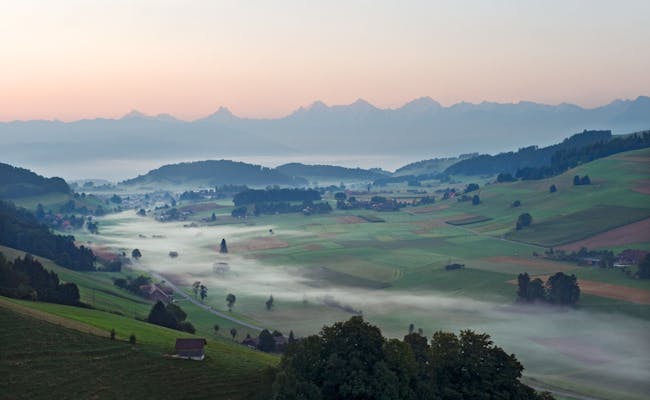
What awaits you in the Gantrisch Nature Park
There are 19 municipalities in the Gantrisch Nature Park. Except Plaffeien (canton Fribourg) all municipalities belong to the canton Bern. The Gantrisch Nature Park covers an area of 414 km², in which 37,400 people live.
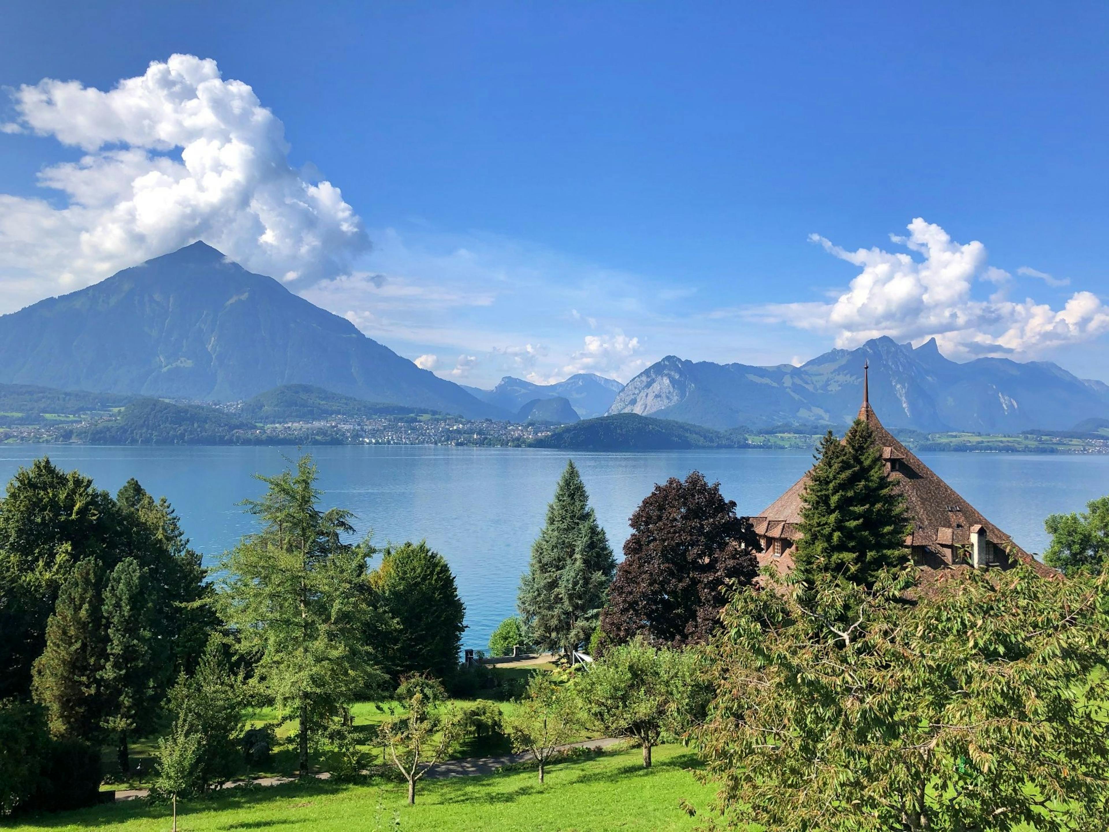
The park was named after the Gantrisch chain, a mountain range in the Bernese Alps southwest of Thun. The Gantrisch Nature Park stretches between an altitude of 510 m above sea level at Bern-Belp Airport and 2239 m above sea level at Schafberg.
The Schwarzsee tourist region is also part of the park.
Villages in the Gantrisch Nature Park
| place | special |
|---|---|
| Belp | Belp lies at the beginning of the Gürbe valley and is known for the regional airport Bern-Belp. |
| Burgistein | West of the Aare valley, the municipality lies on both sides of the middle Gürbe in a valley plain. Burgistein Castle stands on a promontory of the slope. |
| Forst-Längenbühl | The community consists of scattered settlements in the upper Gürbe valley. There are several historical sites. These include burial mounds and remains of a Roman estate. |
| Gerzensee | The name comes from Gerzensee, above whose hollow the village lies. Between the valleys of the Aare in the east and the Gürbe in the west, the village on the southern slope of the Belpberg has a great view. At the same time, the climate here is very mild. Gerzensee is often called the "Bernese Riviera" |
| Guggisberg | Guggisberg lies between the two rivers Schwarzwasser and Sense. At 1115 m, the main village is situated on the southwest slope of the Guggershorn. |
| Gurzelen | It lies in the valley hollow of the Müsche, just before the beginning of the broad Gürbe valley plain. The area belongs to the hilly landscape of the Thuner Westamt. |
| Kaufdorf | The village is known for an overgrown car cemetery with vintage cars, which was dissolved in 2013. |
| Kirchdorf | The village is located south of Lake Gerzen in a part of the wide Aare basin between Bern and Thun. |
| Niedermuhlern | Situated south of Bern, the Bachmühle, a monumental magnificent building (18th century) and stately farmhouses (18th century) are located here. |
| Oberbalm | In a pre-Alpine hill region lies Oberbalm between Bern and Schwarzenburg |
| Plaffeien | The only Fribourg community of the nature park can be found west of the river Sense |
| Riggisberg | Riggisberg is situated on the Längenberg, west of the Gürbetal and in a wide valley hollow of the Mülibach. Both the Rümligen Castle (11th century) and the Abegg Foundation are of interest. This museum contains more than 7000 art-historically valuable textiles. |
| Rüeggisberg | The community is located midway between Thun and Fribourg and south of Bern. Notched valleys characterize the otherwise hilly landscape. The whole area is a popular recreation and hiking area. |
| Rüschegg | The community lies north of the three mountains Ochsen (2188 m above sea level), Gantrisch (2176 m above sea level) and Bürglen (2165 m above sea level). 14 fens on municipal territory (460 hectares) have been included as fens of national importance. In addition, there are 30 hectares of raised bogs worthy of protection. |
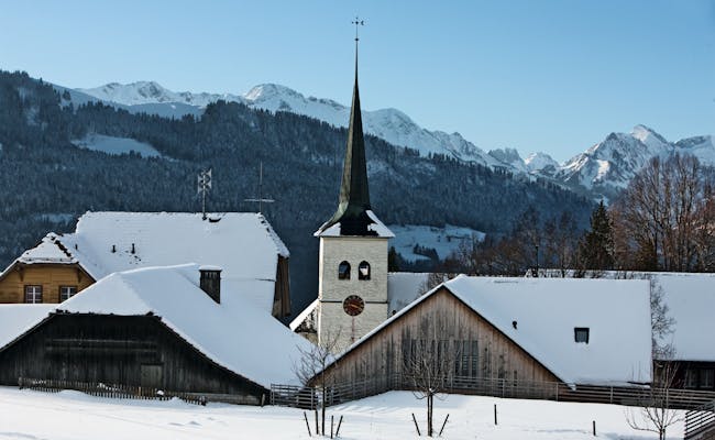
| Schwarzenburg | Schwarzenburg lies in the foothills of the Alps on the Sense River. The village is a stage stop on the Way of St. James |
| Thurnen | Thurnen has a very distinctive church from the 17th century. The central tower with a polygonal pointed helmet comes from a predecessor building. |
| Thurnen lies on the eastern Längenberg in the middle Gürbetal | |
| Toffen | The village lies in the Gürbetal. On its territory flow the Gürbe and the Müsche as well as several brooks. Within the municipality there are 60 place and field names |
| Wald BE | The community lies on the plateau of the northern Längenberg with a view of the Gürbetal. |
| Wattenwil | Wattenwil is located west of the Aare valley and on the southernmost part of the Gürbetal plain. You will find in the village numerous characteristic houses from the 17th to the 19th century, built in the Bernese style. |
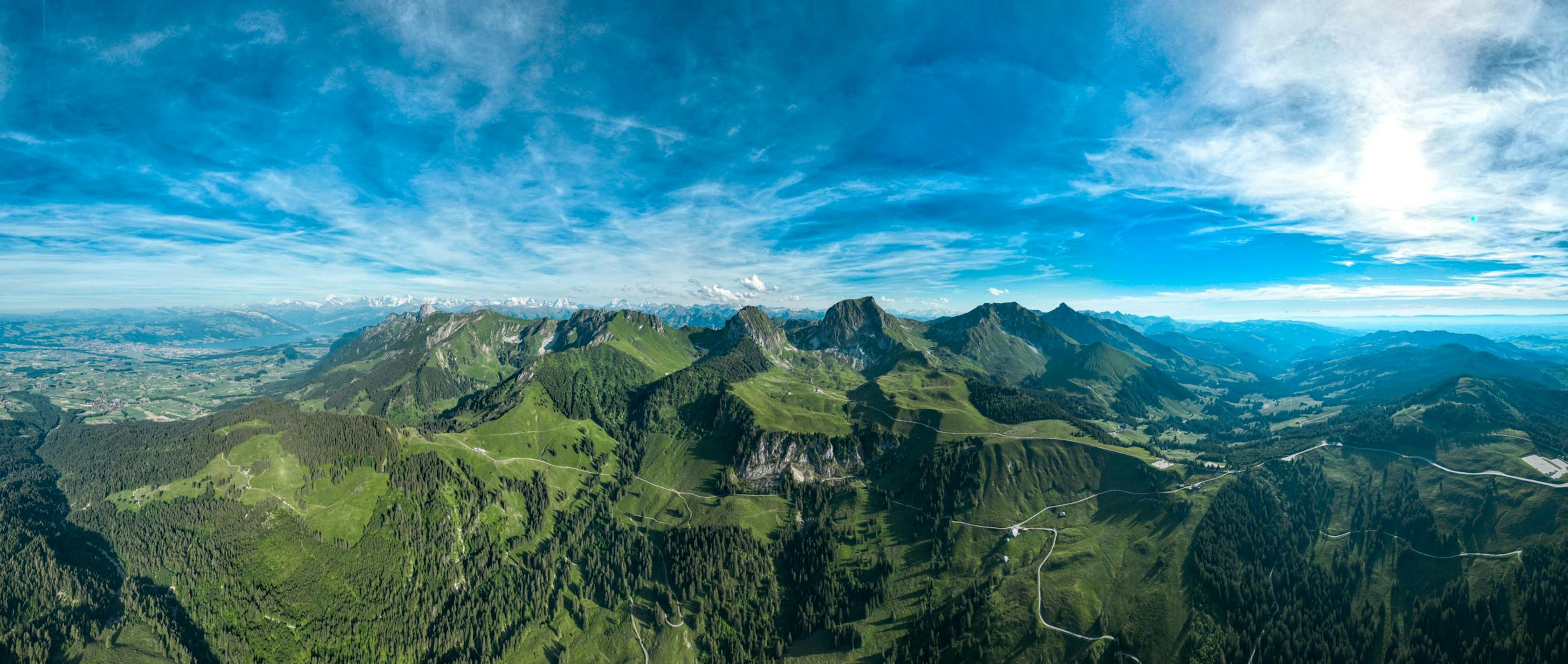
Viewpoints in the Gantrisch Nature Park
In the Gantrisch Nature Park, you will discover several lookout points that offer a beautiful view of the landscape. Here are some of the most famous ones:
| Viewpoint | Special |
|---|---|
| Guggershorn | The striking mountain made of Nagelfluh was already equipped with a staircase at the beginning of the 19th century. It is a popular destination for excursions. |
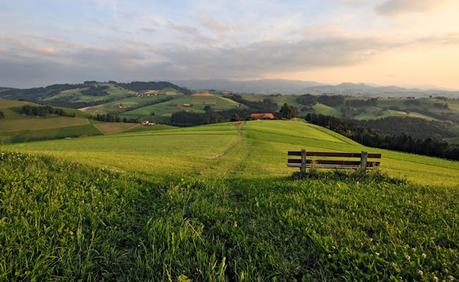
| Leuenberg | On the Leuenberg (part of the Längenberg) near Rüeggisberg stands a memorial built in honor of the writer Rudolf von Tavels. The view from here is impressive. Rudolf von Tavel called it the "most beautiful place in the Bernese countryside". |
Panorama trail Gantrisch
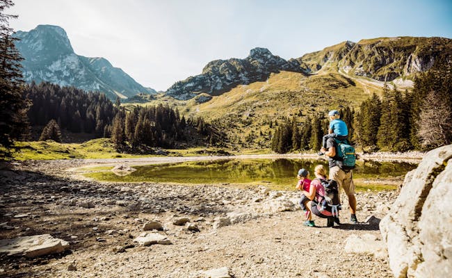
The Panoramaweg Gantrisch is a hiking trail with several beautiful vantage points. Along the way you can also enjoy magnificent views of the Bernese Pre-Alps.
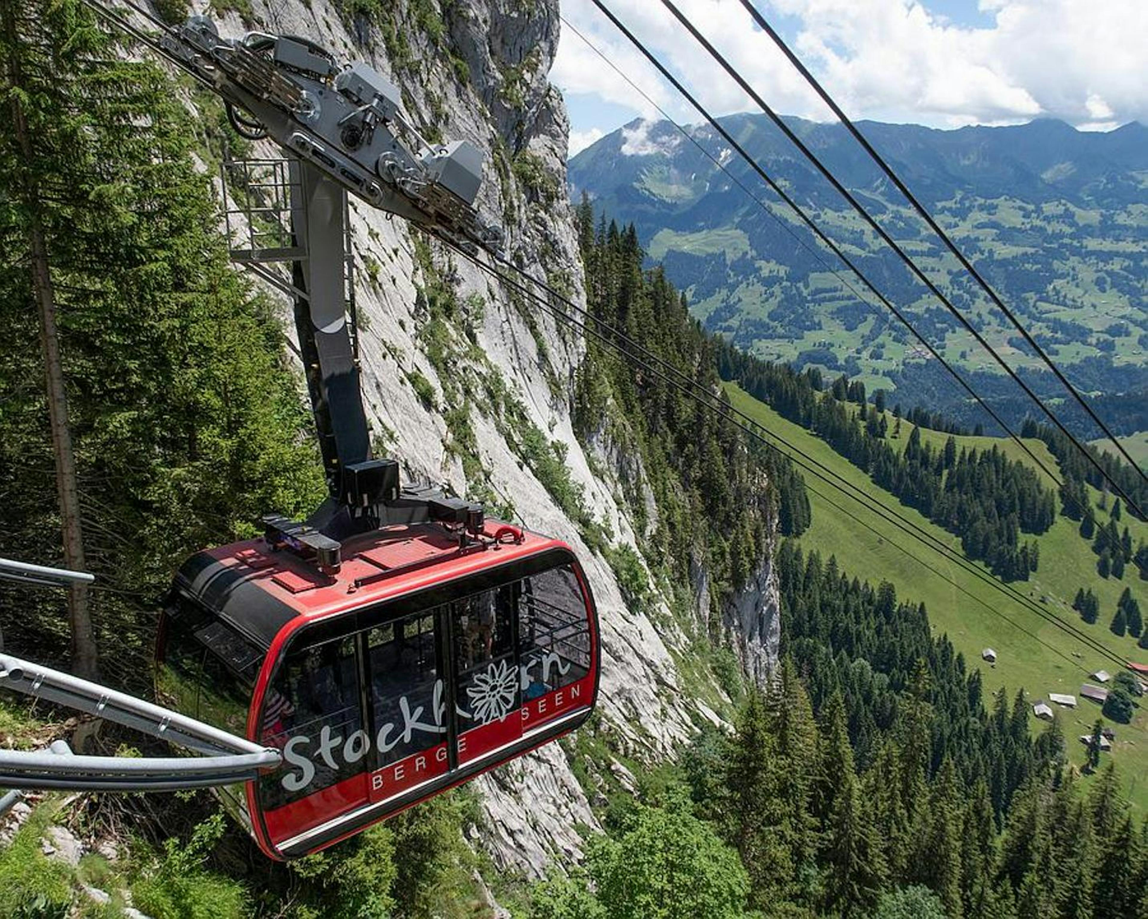
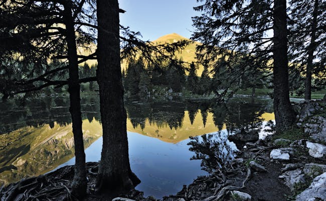
The Gantrisch Panoramaweg is 22 km long and takes about six hours on foot. There are about 1,000 meters of altitude difference, so it is rather something for hikers with a strong physical condition. The cramp is definitely worth it and is rewarded with breathtaking views. In addition to a spectacular view of the Stockhorn chain and the Napf, you can also look down on the Schwarzsee. However, you can also just head for individual viewpoints. The trail starts in Gurniggelbad and ends at Schwarzsee (Zollhaus).
On panorama boards you will be informed in more detail about the view.
You will find panorama boards at:
- Selibühl
- Schüpfenfluh
- Gäggersteg
- Pfyffe barbecue site
- Pfyffe customs house
Cultural sites in the Gantrisch Regional Nature Park
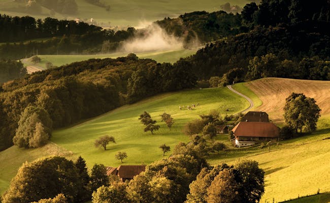
From a cultural-historical point of view, there are some treasures to be found here. Scattered throughout the park you will find castles and various farmhouses built in the style typical of the region in recent centuries.
In addition, there are various baths in the Gurnigel area, which bear witness to the old bathing culture. Also the Schwarzenburg chapel and a part of the Jakobsweg with the Rüeggisberg monastery can be found in the nature park. In addition, the Gantrisch Nature Park has eight museums and three observatories. The Gantrisch Nature Park has particularly clear starry nights because of the clear air.
Swiss Activities Tip: Every year you will see a particularly large number of shooting stars in the period from August 13 to 24. During this time the earth moves through the dust trail of comet 109P/Swift-Tuttle. You can see between 10 and 180 shooting stars per hour, most of them between 2:00 and 4:00 in the morning.
How to Best Explore the Gantrisch Nature Park
You can experience the Gantrisch Nature Park with Schwarzsee on over 350 km of mountain bike trails. There are also 400 km of cycling routes and around 300 km of gravel bike paths. (Gravel refers to stones or pebbles.) So gravel bikes are perfect for varying surfaces while riding.
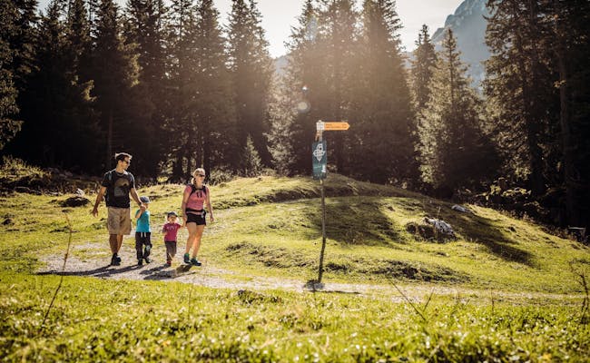
Countless kilometers of hiking trails will take you through the Gantrisch Nature Park. This includes leisurely walks with the family, challenging mountain hikes, or pilgrimages.
If you want to learn more about the legends in the nature park, it's best to join a legendary hike in the Schwarzenburgerland.
There's also the option to sign up for a carriage ride and spend a few hours being pulled by two horsepower.
Legendary MTB tour in the Gantrisch Nature Park
A fabulous tour is also available as an MTB variant. The Legend Trail in the nature park is perfect for a two-day excursion by mountain bike. On the way, exciting legends and lore await you. You can spend the night in country inns or in a castle.
The route passes the following places: Burgistein - Wattenwil - Rüti - Rüschegg - Riffenmatt - Guggisberg - Schwarzenburg - Hinterfultigen - Rüeggisberg - Riggisberg - Burgistein
On the way you will pass by legendary adventure places and fireplaces.
experience places with legends:
- Wattenwill (Chatz u Muus)
- Rüschegg (peddler)
- Riffenmatt (The ball of thread)
- Hinterfultigen (The burning man)
- Rüeggisberg (The headless monk)
You can read the legends on the spot or call them up with your cell phone using the QR code. Since it is a circular route, you can start the tour almost anywhere.
Tour data:
- 64.5 km length
- 5:20 hrs.
- 1249 hm↑
- 1263 hm↓
Climbing in the Gantrisch Nature Park
The Gantrisch Nature Park offers climbers both a via ferrata and a high ropes course.
Gantrisch Ropes Course
The Gantrisch ropes course is located in the fragrant Längenywald forest. Here, a 36m tall Sherman fir helps you push your limits. And you'll be rewarded with an amazing view.
There are three children's courses, three beginner courses, and five more challenging courses ranging from 5 to 36 meters in height. They provide just the right thrill for ropes course pros.
Gantrisch Via Ferrata
The via ferrata at Gantrisch leads directly to the summit of Gantrisch, which stands at an altitude of 2,176 m above sea level. While the path is relatively short, it is demanding and quite steep. You'll need a via ferrata gear, which can be rented on-site.
The via ferrata is regularly checked and maintained each year by experienced mountain guides, so using it isn't free. Each ascent costs 15 CHF, and the annual fee is 50 CHF.
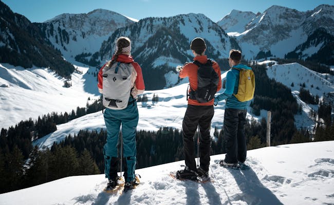
Winter activities in the Gantrisch Nature Park
Winter hiking trails, snowshoe trails, cross-country ski trails and toboggan runs await visitors.
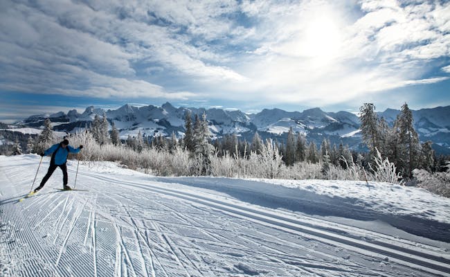
- 45 km of cross-country trails for skating and classic cross-country skiing are offered by the Gantrisch cross-country skiing center
- Night sledging Kaisereggbahnen - Schwarzsee
- For sledging with rapid descent: Riffenmatt, Selibär Winter Park, Selibühl-Gurnigel
Gantrisch Loppet - cross-country skiing event in the nature park
The cross-country skiing event takes place annually at the end of January on the trails of the Gantrisch Cross-Country Skiing Center. Amateurs are also allowed to participate if they register in advance.
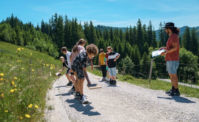
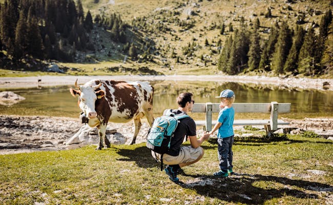
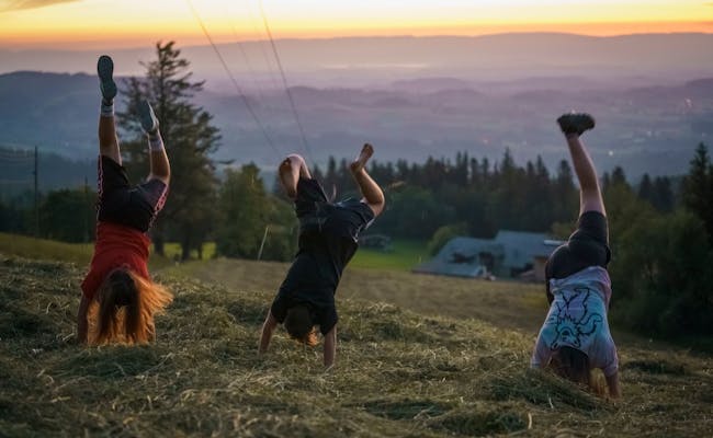
Family Excursion Destinations in Gantrisch Nature Park
Gantrisch Nature Park is perfect for a family outing. All the mentioned family trails (except the hike to Alp Bire) are easy to walk. In addition, there are other paths that are also great for families.
Gäggersteg with family trail in the Gantrisch Nature Park
The Gäggersteg is a wooden footbridge that runs up to eight meters above the Sturmwurf forest. While walking over the footbridge you can see the natural reforestation from above. At the same time you have a good view of the Gantrisch chain.
The Gäggersteg is integrated into a family trail from Selital or Süfternen (refuge). The accompanying story for families is called "Der wilde Türst - das stürmische Spiel am Gägger". You reach a total of eight stations where you can collect runes. Putting them together you get a solution word, for which you get a reward. The Gäggersteg is open from May to November.
Family trail Hansjoggelis Spüuwäute
The family trail begins and ends in Riffenmatt. Six attractive play stations await you with unique wooden sculptures, exciting games, climbing tower and dwarf cave. At each station there are barbecue areas with tables and benches.
Data for the trail: 3.7 km, 4 hrs, 106 hm↑, 64 hm↓
Grasburg family and nature adventure trail in the Gantrisch Nature Park
Near Schwarzenburg, you can explore native trees & shrubs at the Sensengraben. About 50 display boards for plants and four large information boards are set up here. At Brätliplatz you can take a break and swim in the Sensenschlucht.
Data for the trail: 2.7 km, 2 hrs, 73 hm↑, 73 hm↓
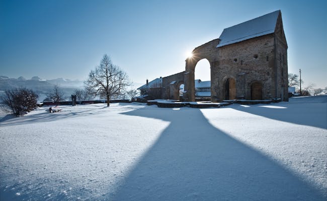
Puzzle fun Rüeggisberg monastery ruins in the Gantrisch Nature Park
The Rüeggisberg monastery ruin (11th century) is a well-known ruin and is one of the most impressive monuments of the Cluniac monks in Switzerland. Here you search for a lost reading stone of the monks. The bat of the monastery will help you. The ruins are open all year round.
Mühledorf bee trail in the Gantrisch Nature Park
South of the Belpberg, the bee nature trail leads along forest and field paths. It is about 400 m long and contains 12 information boards. On them you will learn interesting facts about bees, their use and their keeping.
Food Trail Gantrisch
You start the scavenger hunt through the nature park at the Grizzly Bear Adventure Land in Längenbühl. The route takes you through the forest and along the Gürbe. Along the way you will solve riddles and enjoy regional specialties.
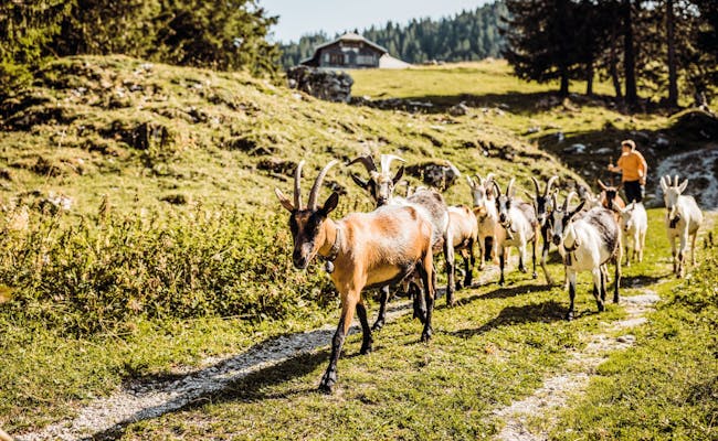
Hike to Alp Bire in the Gantrisch Nature Park
A moderately difficult hiking tour from Gusteren is easily manageable for regular hikers. Alp Bire is known for its goats. It goes via Schüpfeflue and AlpBire back to the watershed (parking lot).
Data for the trail: 11.6 km, 3:40 hrs., 440 hm↑↓
Getting to Gantrisch Nature Park
Gantrisch Nature Park is easily accessible by public transport. You can take a train from Bern to get to the park. Within the park, there are various post bus routes. In winter, there's even a snow bus running.
If you're traveling by your own car, there are various paid parking options available. It doesn't matter whether you're coming from Bern, Thun, or Fribourg.
You can find the whole range of excursions and information on catering, events, accommodation and much more on the website of the Gantrisch Nature Park.