Engelberg Brunni paragliding tandem
Duration: 15 minutes, 30 minutes or 40 minutes
9 Activities
Filter
Better than 4.5 stars
Better than 4 stars
Better than 3.5 stars
Better than 3 stars
No Rating

Duration: 15 minutes, 30 minutes or 40 minutes

Duration: 2 hours, 3 hours, 4 hours, 6 hours or 8 hours
Why book with Swiss Activities?
Duration: 2 hours

Validity: All day

Duration: 3 hours
Duration: 2 hours, 3 hours, 4 hours, 6 hours or 8 hours

Validity: All day

Validity: All day
Duration: 1 day

Adventure
Duration: 15 minutes, 30 minutes or 40 minutes
booked 14 times

Course
Duration: 2 hours, 3 hours, 4 hours, 6 hours or 8 hours
booked 8 times
Why book with Swiss Activities?

Adventure
Duration: 2 hours

Ticket

Tour
Duration: 3 hours

Course
Duration: 2 hours, 3 hours, 4 hours, 6 hours or 8 hours

Ticket

Ticket

Rent
Duration: 1 day
Also in winter Brunni is very popular with 8.5 km of ski slopes and 3.5 km of ski routes already because of the sun.
At Brunni, the landscape is in the foreground. Lake Härzli is by far the most popular destination for a family outing at Brunni. Hikers and mountain bikers like to visit the individual peaks and hills.
Sights at Brunni:
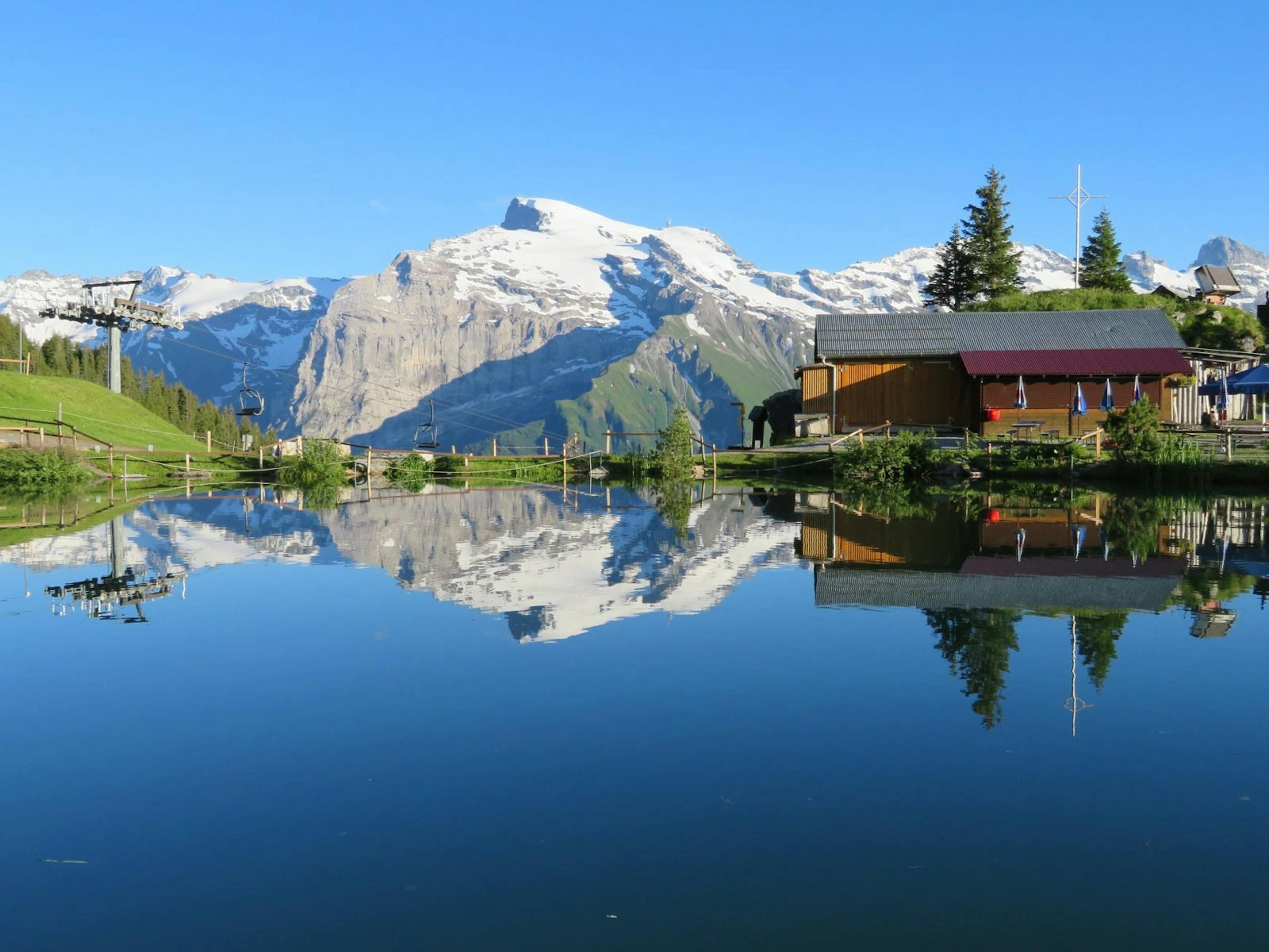
Lake Härzli at Brunni lies at an altitude of 1,861 meters. Its shape is reminiscent of a heart and thus gave the lake its name. The Härzlisee is very idyllic. The whole family loves to walk around it, with the panorama of the mountains of Central Switzerland forming a magnificent backdrop.
At the small mountain lake there is a so-called tickle trail. It is a barefoot path, which is 220 meters long. Means of different materials such as pebbles, wood chips, sand and water massage the feet. It is open from June to October. Starting and ending point is the herbal hut (Chruiter Hüttli). The new Barfusswanderweg was created on the stretch between the Härzlisee and the Hüttismatt above Ristis. It contains eleven places that have been set up for barefoot walking. The walking time is 30-45 minutes
The Chrüseli trough offers a kind of Kneipp cure for the arms, which are alternately dipped into warm and cold water. The bubble pot, on the other hand, is good for the legs.
Around the lake there are five fireplaces with various seating options. If you don't want to grill yourself, you can find something to eat at the Brunnihüttli or the Chruiter Hüttli. Both huts are located directly at the lake.
From Engelberg the cable car goes to Ristis. Here you have to change to the chairlift up to the Brunnihütte. The lake starts right next to the mountain station. It is also accessible as a hiking destination, both from Engelberg and from Ristis. The Härzli lake was artificially created to serve as a water reservoir. It is used in the Brunni area for snowmaking on the ski slopes.
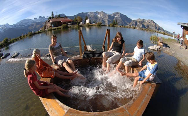 Haerzlisee Sprudeltopf (Photo: Brunni Bahnen Engelberg)
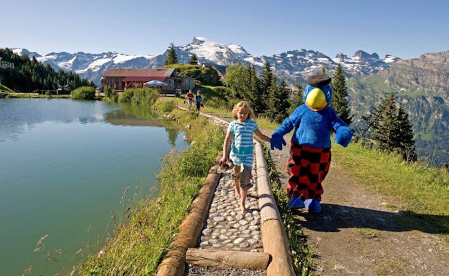 Kitzelpfad Härzlisee (Photo: Brunni Bahnen Engelberg)
Lake Bannalp lies in the north of the mountain range, within a side valley of the Engelberger Valley. It is reached on hiking routes such as the Walenpfad, which connect Brunni and Bannalp.
The mountain route via Rot Grätli and Rugghubelhütte to Engelberg (or vice versa) also passes Bannalpsee.
Lake Bannalp is a reservoir located at an altitude of 1,586 meters. The reservoir was created between 1935 and 1937, when the Oberrickenbach power station was built. The Bannalp is situated at 1600 - 2800 meters above sea level near Oberrickenbach - Wolfenschiessen. The pre-Alpine high valley is rather quiet and an insider tip for those seeking relaxation in summer and winter.
The area around Brunni has many elevations. The following peaks can be seen at Brunni:
Not all mountain peaks are suitable to be hiked or climbed by recreational athletes. Some peaks are reserved exclusively for very experienced climbers and climbing professionals. In addition, however, there are some peaks that have been prepared for mountain hikes and as climbing practice routes.
The most popular are:
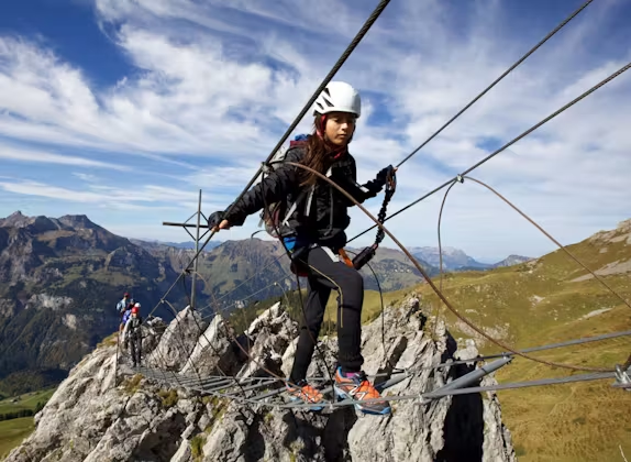
The summit of Brunnistöckli is located 2030 meters above sea level. The Brunnistöckli can be reached via an easy and well-secured via ferrata in about 1.5 hours from the top station of the chairlift.
The 2,099 meter high Bettlerstock has been prepared for a climbing garden. It can be climbed from the south and from the west. The south side should be used only by experienced climbers. It is about 30 minutes away from the Brunni hut.
Rigidalstock is 2,593 meters above sea level. It is located north of the Brunnistöckli and is climbed via a partly difficult via ferrata. A combination of the via ferrata Brunnistöckli and Rigidalstock is therefore possible and is used by experienced via ferrata climbers.
There are no official hiking trails leading to the Gross Walenstock at 2573 meters above sea level. For mountaineers and scramblers it is worthwhile to climb down via Bannalp. Overnight accommodation is available in the mountain restaurants Urnerstaffel and Bannalp (directly at the lake).
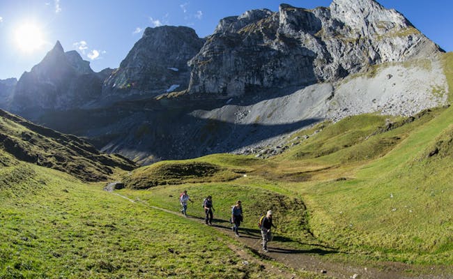 Walenstöcke (Photo: Engelberg Titlis Tourism)
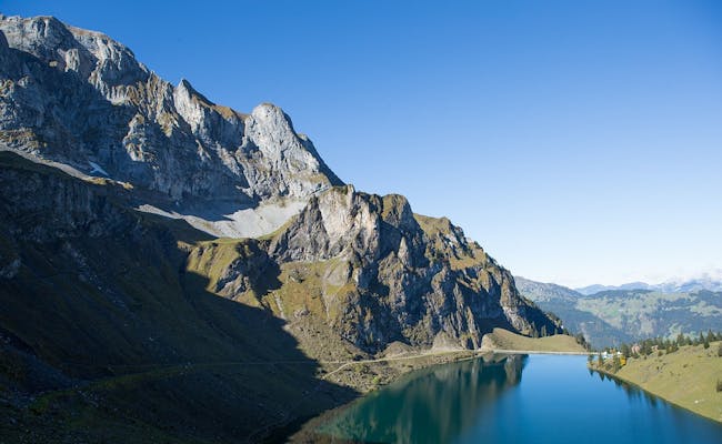 Bannalpsee (Photo: Engelberg Titlis Tourism)
At Brunni, a cable car and a chair lift take you up. Bikes can be transported in the cable car. In winter, three ski tows are added.
| Type | Valley Station | Altitude (m a.s.l.) | Mountain Station | Altitude (m a.s.l.) | Distance (m) |
|---|---|---|---|---|---|
| Cable Car | Engelberg Klostermatte | 1016 | Ristis | 1605 | 1694 |
| Chair Lift | Ristis | 1600 | Brunnhüttli | 1867 | 890 |
| Ski Lift | Schonegg | 1868 | Schonegg | 2040 | 450 |
| Ski Lift 1 | Klostermatte | 1013 | Klostermatte | 1121 | 610 |
| Ski Lift 2 | Klostermatte | 1013 | Klostermatte | 1128 | 630 |
The cable car is a 65-person gondola. The valley station is located in Engelberg, next to the ski bus stop and the Klostermatte practice area. Built in 2008, the cable car takes 3 minutes and ten seconds to reach Ristis, covering an elevation gain of 589 meters. It can transport 677 people per hour.
This 3-person chairlift, built in 1993, is fixed and transports people at a speed of one meter per second, taking 16 minutes to get from Ristis to Brunnhüttli by Lake Härzlisee. The chairlift operates year-round (except during maintenance). It accommodates 1200 passengers per hour.
With an average incline of 48% (or 26°), the Schonegg ski lift is the steepest surface lift in Switzerland. It's a T-bar/anchor lift and takes a total of four minutes and ten seconds to cover the distance.
There are two ski tows in the Klostermatte area, both dating back to 1963 and 1970. They are T-bar/anchor lifts.
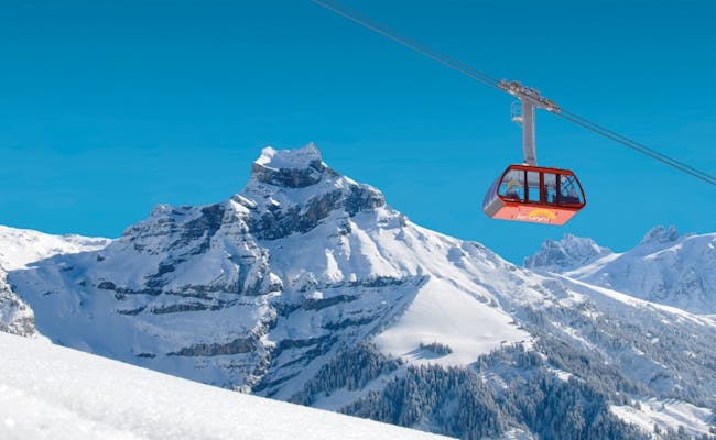 Cable Car Winter (Photo: Engelberg Titlis Tourism)
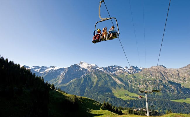 Chairlift (Photo: Engelberg Titlis Tourism)
| Lift type | Valley station | Height (m above sea level) | Mountain station | Height (m above sea level) | Stretch (m) |
|---|---|---|---|---|---|
| 15-cabin aerial tramway (blue streetcar) | Fell | 901 | Bannalp | 1717 | 1945 |
| 8-cabin aerial tramway (red streetcar) | Fellboden | 910 | Bannalpsee | 1586 | 1600 |
| Skilift | Chrüzhütte | 1720 | Nätschboden | 1788 | 382 |
| Skilift | Urnerstaffel | 1663 | Nätschboden | 1788 | 425 |
The aerial cableway runs from Bannalp down to Fell. Dating from 1970, the 15-passenger cable car travels at a speed of six meters per second and takes a total of six minutes. "S`blaiä Bähnli" runs summer and winter about every half hour and brings up to 130 people per hour to the top. In November, the operation is discontinued.
At the middle station is the Chrüzhütte alpine inn, where a vacation apartment for up to ten people can be rented.
This small aerial cableway was originally built in the 1930s as a material railroad and now also runs for tourists in summer. It is also used for supplies for various alps and guesthouses. Even cattle are transported on it. The little train complements the larger aerial cableway. "S`rotä Bähnli" takes about eight minutes and is in operation from the second week of May until the third week of October. It runs about every hour.
The ski lift is a T-bar/anchor drag lift built in 1950. It connects the middle station of the Bannalp aerial cableway with Nätschboden. The ride takes 2.5 minutes.
The T-bar/anchor tow lift dates from 1986 and connects Urnerstaffel with Nätschboden. With a speed of 2.8 meters per second, it takes 2.5 minutes.
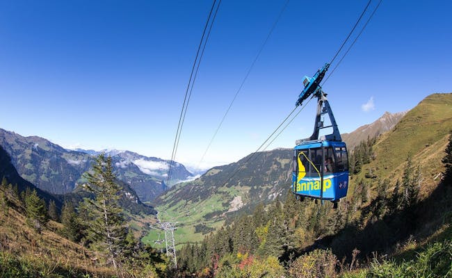 Bannalp Bahn blue (Photo: Brunni Bahnen Engelberg)
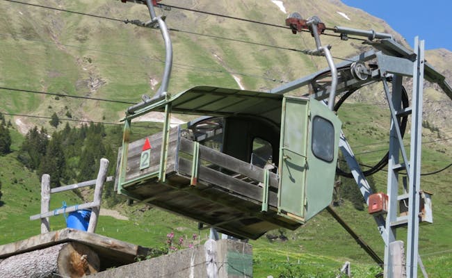 Bannalp Cable Car (Photo: Engelberg Titlis Tourism)
In the summer, Brunni offers a variety of hiking trails. Some of them are very easy to walk, while others require experience in mountain hiking. For the more active, there are several via ferratas. For families with small children, activities around Härzlisee, at the playground, and on the treasure hunt trail between Ristis and Brunni are recommended. Summer activities are generally available from June to October. Some hikes and paragliding can be done year-round.
Brunni is particularly popular as a winter sports area due to its southern slope.
Two herbal paths showcase medicinal herbs in their natural surroundings. The Silberdistelweg can be found above the chairlift. The Baldrianweg consists of several garden patches around Härzlisee.
Popular activities include:
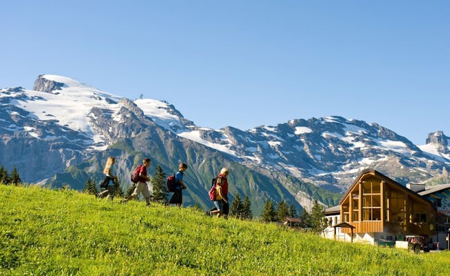 Hiking (Photo: Engelberg Titlis Tourism)
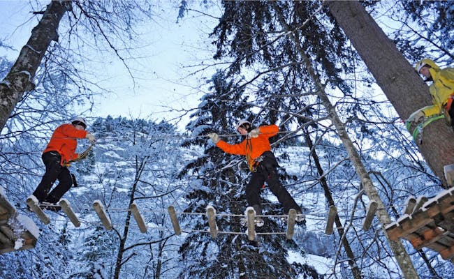 Rope Park (Photo: Engelberg Titlis Tourism)
In summer there are a lot of hiking trails at Brunni. Some of them are very easy to walk, others require experience in mountain hiking. For the very active there are several via ferratas. With small children, activities around the Härzli lake, at the children's playground and on the treasure hunt trail between Ristis and Brunni are recommended. Summer activities can usually be done between June and October. Some hikes and the paragliding flights take place all year round.
The Brunni is a particularly popular winter sports area because of its southern slope.
Two medicinal herb paths show medicinal herbs in their natural environment. The silver thistle trail can be found above the chair lift. The valerian path consists of several lakeside gardens around the Härzli lake.
The most popular activities include:
At Brunni there are a total of eight fireplaces for barbecuing with picnic areas:
There is enough firewood everywhere.
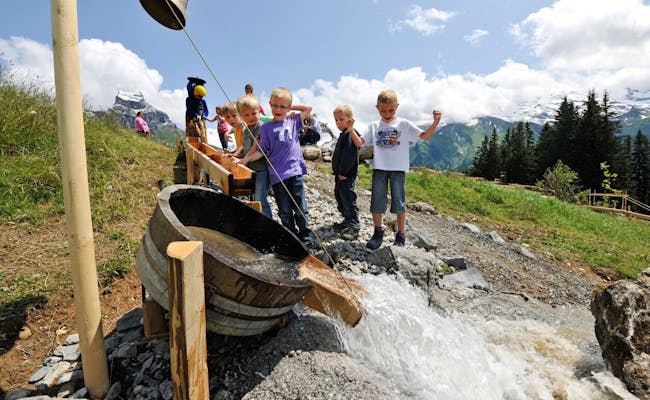 Globi Water Games (Photo: Engelberg Titlis Tourism)
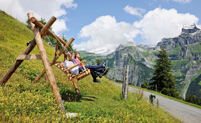 Swing Bench (Photo: Engelberg Titlis Tourism)
With only a 270-meter elevation gain over six kilometers, the hike from the Ristis mountain station to the Brunnihütte at Härzlisee is an easy trek. It can even be done with a stroller. The perimeter of the small Härzlisee is also manageable for the whole family without requiring any fitness.
There’s a cable car that goes up to Ristis. Here, you can first visit the playground and then take the path to Härzlisee. Along the way, you have a great view of Titlis and Hahnen. If you're not keen on the gentle ascent, it's best to take the chairlift all the way up and walk down. A ride on the summer toboggan run is the cherry on top of your outing.
The themed trail Globi’s Treasure Hunt also runs along here. You can get the treasure map and the corresponding questionnaire at the mountain restaurant Ristis, the herb hut, or the Globi kiosk.
The hike from Ristis to Engelberg is a leisurely trek over four kilometers. Along the way, you’ll pass by the Schwand inn. The descent takes about 2 hours and 15 minutes, while the ascent requires about half an hour more. You’ll overcome 600 meters of elevation gain. This hike is perfect for combining with a gondola ride. The path is paved and stroller-friendly. Be careful: mountain bikers like to use this road in the summer.
This route is a bit shorter than the one via Schwand. It takes about one and three-quarters of an hour going downhill. If you want to go uphill, plan for 2.5 hours for 600 meters of elevation gain and a four-kilometer distance. Going down, it’s a relaxed hike. Instead of taking the path to Schwand at Spiessboden, you’ll head towards Bergli.
This path takes about 1.5 hours on a narrow hiking trail with some stairs through the forest and ends at the monastery in Engelberg.
Offers at Swiss Activities:
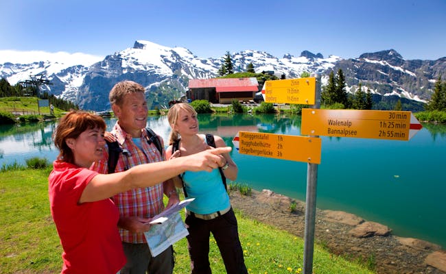 Härzlisee (Photo: Brunni Bahnen Engelberg)
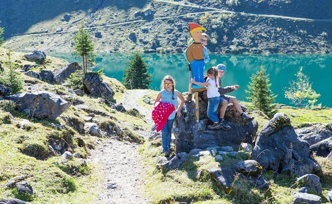 Bannalp (Photo: Engelberg Titlis Tourism)
Mountain hiking isn’t just a stroll; it requires sturdy hiking boots and weatherproof clothing (which can easily go into your backpack while you walk). The weather can change rapidly and unexpectedly in the mountains. Don't forget sunscreen and drinks!
This mountain hike starts at the upper station of the cable car in Ristis. The spectacular mountain trail has been developed and secured for hikers. In 2012, Switzerland Tourism and SWW named it one of the twelve most beautiful hiking trails in Switzerland. The actual Walen Path begins at Spissegg. Soon enough, you’ll see the Bannalpsee, and the descent starts at Ziegenalp Oberfeld.
You can break off the hike here. Two cable cars take you down into the valley, and you can catch the Postbus to the Zentralbahn stop.
For an overnight stay, the mountain huts Urnerstaffel and Bannalp (right by the lake) are good options.
On Day 2, you’ll descend to Haghütte, before heading uphill to Schonegg in about 1.5 hours. The descent continues through the Sulztal to Gitschenen. From there, a cable car and the Postbus take you down into the valley.
This moderate hike takes about two to two and a half hours and covers around 500 m in elevation gain. It starts in Ristis and leads over Rigidal and the Planggenalp to the Rugghubelhütte. The sunny ascent offers stunning views, and there's a high chance of spotting wildlife along the way.
This hike lasts four hours. With a little over 300 m in elevation gain, it’s a moderate hike. However, the nearly 1400 m descent should be considered if you have knee problems (hiking poles recommended).
Just under ten kilometers long with a 1300 m elevation gain makes this mountain tour a challenging hike. You'll be rewarded with wonderful panoramic views. The route goes from Ristis – Alp Rigidalstafel – Rugghubelhütte – Engelbergerlücke – Wissigstock. The path is well maintained, initially marked in red and white, then later in blue and white.
 Rosenbold (Photo: Brunni Bahnen Engelberg)
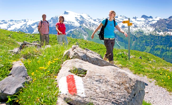 Hiking (Photo: Brunni Bahnen Engelberg)
To use the via ferrata at Brunni, a mountain guide can be booked in case of uncertainty or for inexperienced climbers. Mountain guides can also be found on site at Engelberg Mountain Guide in the center of Engelberg.
It is always to be noted:
The via ferrata Brunnistöckli is very easy to walk. It is suitable for children who are free from giddiness and sure-footed, from about eight years of age. The trail takes about 1.5 hours and climbs just under 200 meters in altitude. The via ferrata contains two moving rope bridges, but is secured throughout with a steel rope. There are no strength-sapping or overhanging sections.
The approach is via the hiking trail "Brunnipfad", which starts at the top station of the chairlift and leads in the direction of the Rugghubelhütte SAC. At the Brunnipfad sign is a path passage that leads uphill on the left to the entrance.
From Schonegg the descent is back to the Brunnihütte on the marked hiking trail.
The Zittergrat has been prepared as a short and difficult practice via ferrata so that climbing enthusiasts can gain their first experience in difficult ascents.
It is largely oriented to the south and requires a lot of strength and stamina. The entry point is in the vertical and then the route leads to a cross-band above a roof. Shortly before the end of the climb there is a slightly overhanging passage. After that, you can move on to the easy via ferrata Brunnistöckli.
For the approach, take fifty meters of the trail that leads to the Rigidalstock via ferrata. Then turn right up to the rock face.
The descent is via Schonegg back to the Brunnihütte.
Two via ferratas lead to the Rigidalstock. One via ferrata is called Rigidalstockwand, the other is called Rigidalstockgrat. Depending on the route taken.
The via ferrata Rigidalstockgrat (east): It has the difficulty K3 and is also suitable for beginners accompanied. Unlike the Rigidalstockwand via ferrata, it can be taken both in ascent and descent.
The via ferrata Rigidalstockwand (west): At difficulty level K4, this via ferrata should be taken exclusively by experienced climbers. It is only possible in the ascent.
This tour shows the ascent over the Rigidalstockwand and the descent over the Rigidalstockgrat. The route is marked as "Rigidal via ferrata" from the Brunni hut.
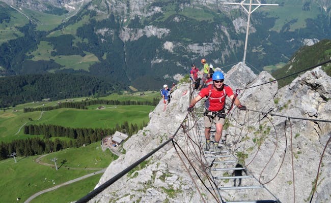 Via Ferrata Rock Safety (Photo: Engelberg Titlis Tourism)
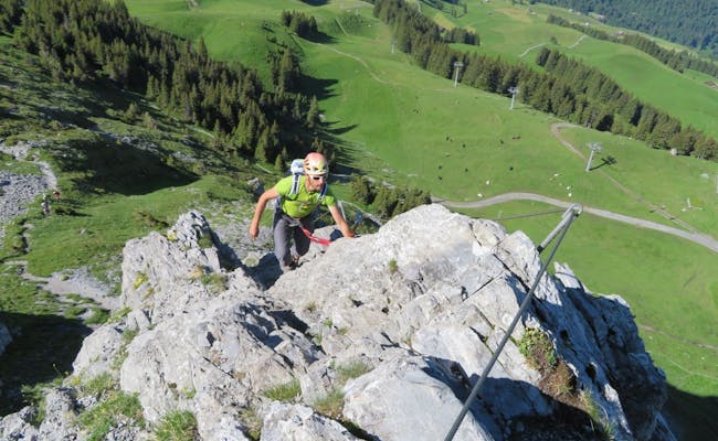 Klettersteig Rock Safety (Photo: Engelberg Titlis Tourism)
In the Brunni area, two climbing gardens and a climbing path have been set up for practice purposes. They can all be reached via the Brunni chairlift and are secured with drilled or glued hooks. The climbing garden Brunnihütte is also suitable for children and for beginners. Mountain guides can be found at Engelberg Mountain Guide in the center of Engelberg.
The Brunnihütte climbing garden is located at 1895 meters above sea level near the children's playground at Härzlisee. The routes with good grip are very well secured and are therefore suitable for absolute beginners. The via ferrata Brunnistöckli and Zittergrat are only a few steps away. The access to the climbing garden is marked. The necessary equipment - 40 meters of rope and ten express sets - can be rented at the Brunnihütte.
An express set consists of two carabiners. They are connected to each other by a sewn tape sling. The main use of an express set is to create a flexible connection between the rope and a fixed point. Most often, this is an intermediate belay.
The climbing garden is open from April to November.
The Bettlerstock climbing garden is located at an altitude of just under 2100 meters and can be reached from the top station of the Brunni chairlift in about 30 minutes via the white-blue marked hiking trail.
There are two routes in this climbing garden: a very difficult south route and an easier west route. The Bettlerstock shows itself with a 70 meters high pillar made of rough limestone. The west route is 20 to 25 meters high, the south route 70 meters.
The climbing routes on the Bettlerstock are open from January to December. Especially the south route warms up quickly even in winter when the sun is shining.
At about 2040 meters above sea level, the Brunni and Mungg learning paths are located. They serve for practicing for multi-pitch beginners and already experienced families with children. Every one to two meters there is a piton.
The approach is from the Brunni hut in the direction of Walenpfad after about 45 minutes. At Rosenbold, the path branches off and leads in the direction of Gras-Grat to the east. At the "block with practice stands" follow the cairns in northeast direction. Here is the second block with two pitons. An inconspicuous turret shows the approach. The route leads on the northwest side over three towers to the summit of Bettlerstock. All ascents are manageable on the learning paths. The length is four pitches.
Both learning paths run parallel and can be climbed simultaneously by two rope teams. The necessary equipment (50 meters of rope and eight expresses) can be rented at the Brunni Hut.
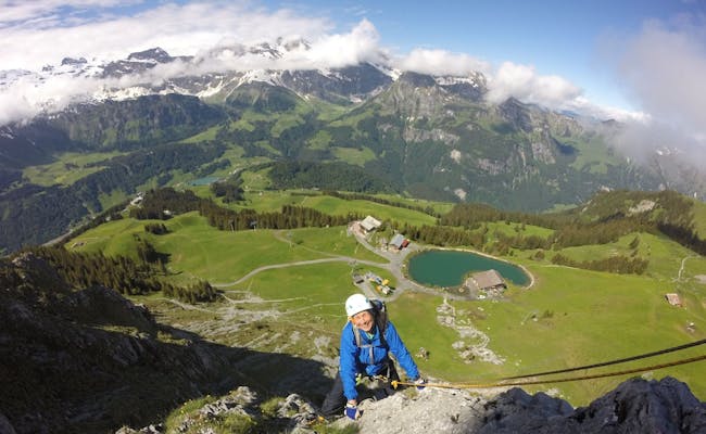 Rock Safety (Photo: Engelberg Titlis Tourism)
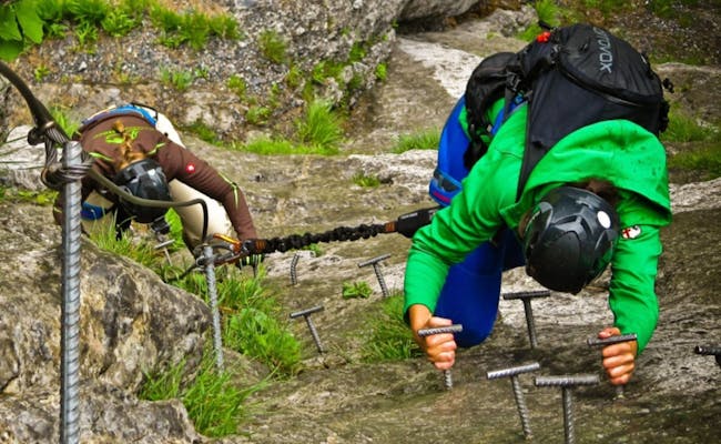 Rock safety (Photo: Engelberg Titlis Tourism)
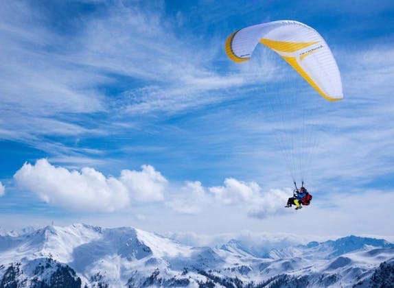
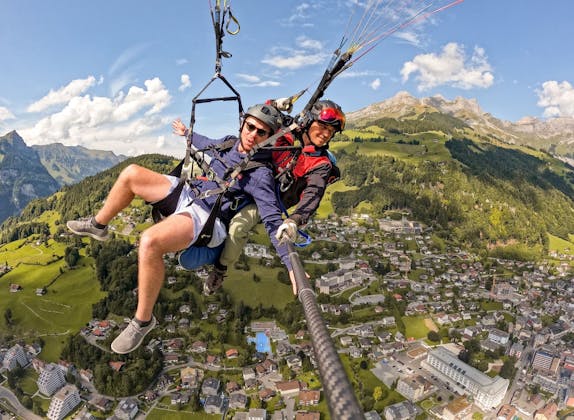
The Brunni has three take-off points for paragliding. They can be reached via the aerial cableway and the chairlift. Information about the Engelberg flying area is provided by the Brunni cable cars. The Engelberg valley is protected from the wind by the Titlis massif. Therefore, there are also very good conditions for beginners.
Weather and flying conditions are excellent on an above-average number of days.
Tandem flights from Brunni offer for example:
Please bring sturdy shoes, sunscreen and warm clothing.
Only about four minutes from the top station of the chairlift, the launch site is located at 1,870 meters above sea level. A flat lay-out area is sufficient for about three gliders. The slope is moderately sloping as a meadow.
At an altitude of 1,800 meters lies the launch site Tümpfeli, which has a lay-out for ten paragliders on meadow terrain. The slope here is slightly sloping. The take-off point is reached by cable car and chair lift. About ten minutes of walking downhill are necessary to reach the southern place.
The launch site is located at 2,000 meters above sea level and can be reached from the top station of the Brunni chairlift in about 20 minutes (ascent). In winter you can reach it almost completely by the Schonegg ski lift. The lay-out area on the moderately sloping meadow is sufficient for ten paragliders.
Engelberg is the official landing site for paragliders in the Brunni area. It can be found at an altitude of 1,015 meters on the meadow between the Sportingpark in Engelberg and the Wyden sports field. It is essential to observe the stopping and parking ban along the Bänklialpweg and at the surrounding properties.
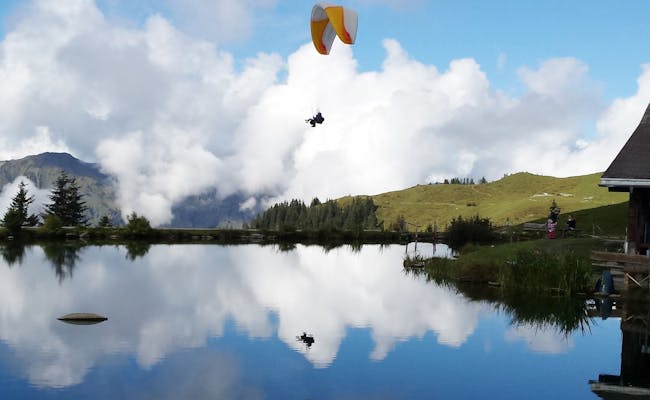 Paragliding Härzlisee (Photo: Brunni Bahnen Engelberg)
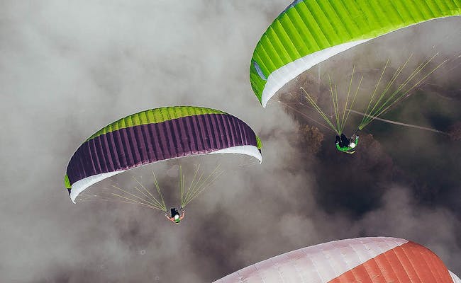 Paragliding (Photo: Titlis Engelberg Tourism)
At Brunni, several tours are possible by mountain bike, bicycle or e-bike. The asphalt road from Engelberg leads to Ristis and on to Rigidalalp. From here it continues on a gravel road and the last part before the Brunni hut becomes very steep. The gondola lift also transports folded bikes, the chairlift does not.
Tour suggestions:
The route is 9.2 kilometers long. There are 620 vertical meters up and thirty vertical meters down on an asphalt road. This trail is shorter than the trail over Schwand, but has a few steeper sections.
The route is 10.5 kilometers long. The trail covers 640 vertical meters uphill and eighty vertical meters downhill. This trail is a bit longer than the trail over the Bergli, but can be ridden more evenly.
Less than three kilometers of gravel road separate Ristis from Brunnihütte. Up to Rigidalalp the road is very well passable. The road becomes very steep just before the Brunnihütte. In total, there are 270 meters of altitude to climb up and ten meters to descend.
This tour starts and ends in Engelberg. It leads along the Schwandstrasse-Fellenrüti. First you reach the restaurant Flühmatt. Below the terrace the trail starts on the left. From Klostermatte this tour leads over a meadow.
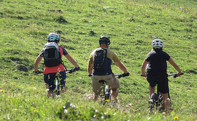 Biketour (Photo: Engelberg Titlis Tourism)
 Biketour (Photo: Engelberg Titlis Tourism)
The summer toboggan run in Ristis is 660 meters long and is open daily on dry days from spring to fall. It starts at the Berglodge Restaurant Ristis and circles the Alpine playground. Children eight years and older may ride alone; younger children need an escort at least 12 years old Globi's Alpine Playground stands on an area of 3,000 m2. It is located within the summer toboggan run
There are the following playground equipment for the children, in addition to other play elements:
Within the playground there are three fireplaces with ten seats each. Wood is available.
 Summer Sledding (Photo: Engelberg Titlis Tourism)
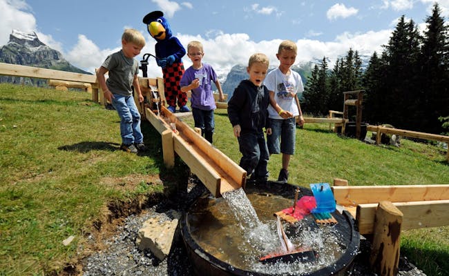 Globi Water Games (Photo: Engelberg Titlis Tourism)
The best place to start sledding on Brunni is directly at the Brunni Hut. Two toboggan runs lead from here down to the Ristis. In the Yeti children's park, classic toboggans, skigibles and airboards including pads and helmets can be rented. Toboggans can also be rented at the top station of the chairlift at the Brunni hut.
Via Rinderbüel to Ristis the toboggan run is about 2.5 kilometers long and easy to ride. This toboggan run can also be done with a skigibel or an airboard. It is suitable for inexperienced sledders and older children.
The route over Zigerboden is also 2.5 kilometers long and not suitable for children. Because of several steep passages this is a rather demanding sledding tour.
For small children there are toboggan runs in Yeti Park on Ristis or on Klostermatte in Engelberg.
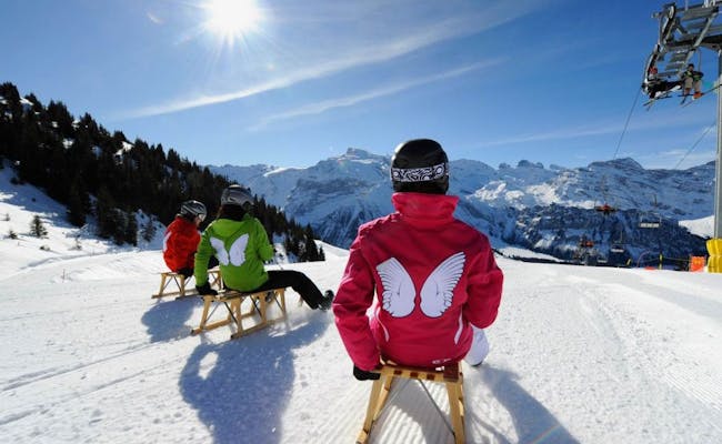 Sledding (Photo: Brunni Bahnen Engelberg)
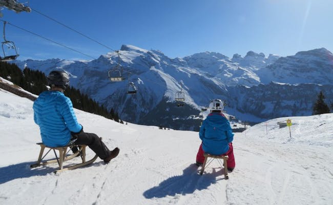 Sledding (Photo: Brunni Bahnen Engelberg)
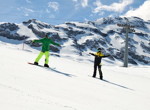
In total, the ski runs at Brunni span 8.5 kilometers for skiing and snowboarding. The winter sports area ranges from an elevation of 2,040 meters at the Schonegg lift down to 1,050 meters above sea level.
The slopes are exclusively covered with pure mountain spring water using solar energy.
The Klostermatte is the leading ski practice area in Central Switzerland.
Here are the available ski runs:
Every Friday and Saturday, as well as daily during the winter holidays, night skiing takes place at Klostermatte from 6 PM to 9 PM. This slope is the first in Switzerland to feature LED lighting.
The following ski and snowboard schools are available locally:
Globis Winterland at Klostermatte is accessible by car. There is a large parking lot available at the valley station of the cable car. For little ones, there is a ski school equipped with a ski school office and an optimal practice area. The compact and flat ski area is perfect for children and beginners. You can ski, snowboard, or toboggan here. Additionally, there is a ski rental, a ski depot, and the Family Restaurant OX at Klostermatte.
The facilities include:
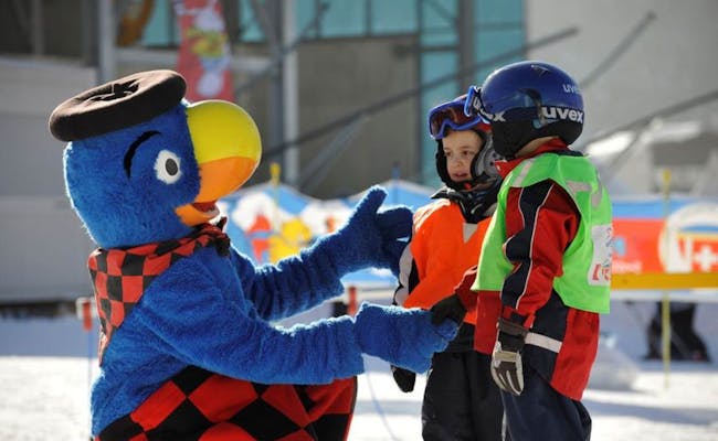 Klostermatte (Photo: Brunni Bergbahnen Engelberg)
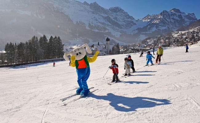 Klostermatte (Photo: Brunni Bergbahnen Engelberg)
The Yetipark is open daily from 9:00 to 16:00 in the winter season. The children's adventure park is located on Ristis near the Berglodge. The practice area for children is optimal for sledding and skiing. In a snack hut there are hot dogs, pizzas, soups of the day and hot and cold drinks. There are also deckchairs on the sun terrace. Toboggans, skigibles, airboards and snowshoes are available for rent.
Facilities include:
These two signalized paths for snowshoeing are secured against avalanches. The official winter hiking trails are also regularly groomed.
The Schönenboden snowshoe trail starts at the Berglodge Ristis and takes about two hours (3.5 km). The trail heads west and comes along the valley station of the chairlift. It follows the winter hiking trail to Schwand and later the Schneetandliweg to Ristis.
The snowshoe hike starts in Ristis and leads east over the Ruchweg and the Riedalp back to Ristis. This tour is a bit easier to walk, as there are less meters of altitude to climb.
This short winter hike covers 265 meters of ascent. During the hike the Titlis and the Hahnen are always in view.
The hiking trail starts at the Berglodge Ristis and leads along the pink winter hiking trail signs. Before the trail climbs, the hike goes left along the edge of the forest to Ried. Through the forest it leads back to the Ristis mountain station.
The summer hiking trails between Ristis and Brunnihütte as well as Ristis and Engelberg can also be walked in winter.
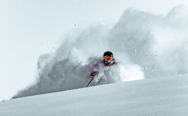 Ski touring (Photo: Brunni Bahnen Engelberg)
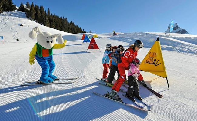 Yetipark (Photo: Brunni Bahnen Engelberg)
The following tour suggestions are particularly suitable for cross-country skiing.
This easy ski tour has about 570 meters of ascent through the Erlentobel. Avalanche danger is rather low here, but must be taken into account. The way back follows the same route.
The tour leads over open and wide tracks constantly ascending up to the Furggelen. Up to the Furggelenstock it is also a very steep ascent. Below the Brünnelistock the trail leads over wide forest paths back to the starting point at Brunni.
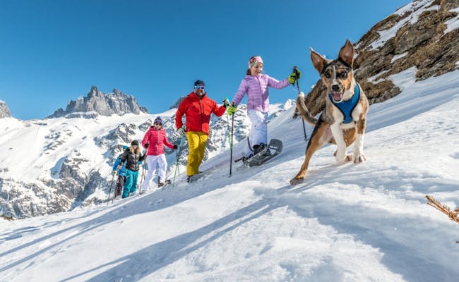 Fürenalp Snowshoeing (Photo: Engelberg Titlis Tourism)
 Cross-country skiing (Photo: Engelberg Titlis Tourism)
At the Brunni, the Brunnihüttli is particularly popular. In addition, there are quite a few other huts on the mountain.
At the Brunnihüttli of the SAC you can not only get food and drink, you can also rent equipment for climbing or sledging. The Brunnihüttli belongs to the Swiss Alpine Club (SAC) and is located at 1830 m above sea level.
In winter the Brunnihüttli is the center of winter sports, a toboggan run starts directly at the hut. In the months when there is little snow, there is hiking and not far from the hut there is a starting point for paragliders, also in winter. High altitude trails and climbing tours, which are only accessible in summer in a few months, also start here. The Kneipp-Barfussweg starts next to the hut around the Härzlisee. Mountain bikers also reach the Brunnihüttli only in summer.
The Brunnihütte offers 32 sleeping places as well as a shelter with eight sleeping places. In summer, another 16 sleeping places are added in the Alphüttli. This is about three minutes from the hut. Overnight guests are also served dinner. The Brunnihüttli has a large outdoor terrace. It can also be booked by groups. It is closed during the overhaul periods of the Brunni lifts, but the shelter is always open.
The herb hut is located at Lake Härzli and is open daily in summer from 08:30 to 17:00. The snack stand offers snacks and drinks (cold and hot). You can also buy sausage and bread for grilling.
In the herbal hut you can rent via ferrata sets. Here you can also get the treasure map for the Globi treasure hunt.
The Älplerbeizi Rigidal is located on the popular hiking trail between Ristis and Brunni Härzlisee. From Ristis it takes about thirty minutes. It opens all year round when the weather is nice and offers Engelberg specialties such as cheese slices or gingerbread. The mountain panorama can be enjoyed on a terrace. Inside there is a rustic coziness.
The Berglodge Ristis is directly accessible via the cable car from Engelberg. It has seven rooms for overnight guests: three four-bed rooms, two five-bed rooms, a 7-bed dormitory and an 11-bed dormitory. Two rooms have their own showers, the others have access to a large bathroom on the floor. The restaurant has a large terrace. The view goes directly to Titlis, Spannörter and Hahnen. Lunch can be combined with a visit to the Schaukäserei Brunni-Chäsli.
The OX family restaurant is located right next to Globi's Winterland on Klostermatte. It has room for 160 guests inside. A large terrace offers a view of the Klostermatte and additional seating. It is open during the winter season from December to March. Popular are the OX Burger Nights on the evenings of night skiing (Fridays and Saturdays and daily during the Christmas vacations).
The Flühmatt Restaurant is located at 1352 m above sea level. The Flühmatt can be reached on foot from Engelberg in about 40 minutes all year round. In summer you can take the gondola lift to Ristis. From Ristis the descent takes only about thirty minutes. The restaurant offers the famous "Engelberger Älplermagronen".
The Rugghubelhütte is a hut of the Swiss Alpine Club SAC. It is reached from Ristis in a 2.5-hour hike and lies at 2,296 meters above sea level. The hut, which is managed from June to October, has room for 98 guests. During the unmanaged period, a winter room and a shelter with 20 beds are available.
The Schwand Inn is located between Ristis and Engelberg and can be easily reached from Ristis in an hour and a half, even with a baby carriage or wheelchair. From Engelberg it can be reached by car in about twelve minutes. Overnight stays are possible in two- to four-bed rooms with shared bathrooms.
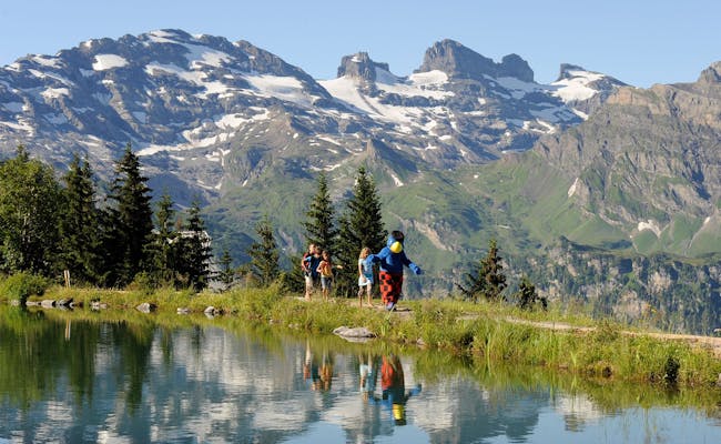 Brunnhütte (Photo: Engelberg Titlis Tourism)
 Brunnhütte (Photo: Engelberg Titlis Tourism)
The Urnerstaffel mountain restaurant is located on the Bannalp. It offers cheese slices or rösti and also overnight stays. The mountain inn lies on the route of several mountain hikes from Brunni, in particular the Walen Trail.
Slightly above the lake lies the Bannalpsee mountain inn, with the Bietstöck in the background. Up to 70 people can stay here overnight. The restaurant serves hot meals throughout the day, and there is a children's playground. The large sun terrace can be used until late evening. Specialties are: Bannalp coffee in chacheli, Älplerrösti, Älplermagronen (on request), meringues with cream.
Open from June (from mid-May on request) until mid-October. The mountain inn is only a few steps away from the mountain railway station Bannalpsee.
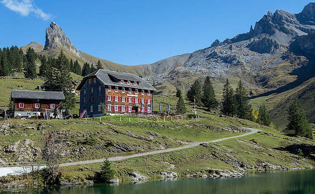 Berggasthaus Bannalp (Photo: Engelberg Titlis Tourism)
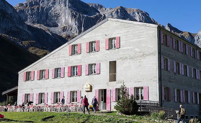 Mountain Guesthouse Urnerstaffel (Photo: Engelberg Titlis Tourism)
Brunni is located at 1850 meters above sea level and is very popular because of its southern slopes. Both in summer and winter the sun often shines here.
In summer, average maximum temperatures of around 20°C are reached between June and August. At night, the average values during these months are around 8 to 10°C.
In winter, temperatures are hardly colder than -5°C at night on average, and 1-2°C during the day.
Located at 1850 meters above sea level, Brunni is a hiking and winter sports area north of Engelberg in Central Switzerland. You can reach it from Engelberg using a cable car and a chairlift.
There are parking spaces available at the valley station of the cable car. The parking fee is 5 CHF per day. Engelberg offers additional parking options as well.
By car, it takes about 1 hour and 10 minutes from Zurich via Lucerne using the A4, A14, and A2 highways. You leave the highway at the exit for Stans. The drive to Engelberg continues along the cantonal road.
You can reach Engelberg via the Zentralbahn from Lucerne in about 43 minutes. If you're coming from Zurich, the train journey takes between 1 hour and 45 minutes and 2 hours and 15 minutes. A pleasant option is to combine a boat trip with a bus or train ride.
The boat from Lucerne goes to Beckenried. From there, bus 311 takes you to Stans. From Stans, both trains and buses run to Engelberg station. The free shuttle bus Dorf-Express operates between Engelberg station and the Titlis valley station. It takes about 10 minutes to walk.
Six additional bus lines provide free transport for passengers in Engelberg to the station and the valley stations of the mountain cable cars.
From the valley station of the Bannalp cable car in Fell – Oberrickenbach, you can take the Postbus line 331 to Wolfenschiessen Bahnhof. The Postbus takes 14 minutes for six stops. From Wolfenschiessen station, the Zentralbahn runs to Engelberg via Grafenort. The train takes about twenty minutes and usually runs hourly.
 Free bus Engelberg (Photo: Engelberg Titlis Tourism)
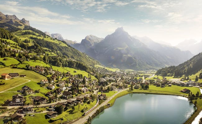 Engelberg (Photo: Simon Kim Engelberg Titlis Tourismus)